Quimper night lights from space
Night Light of Quimper (Brittany) from space (France) Src. Average luminocity for 10x10km area is 35.2429% and for 50x50km: 4.0904%.
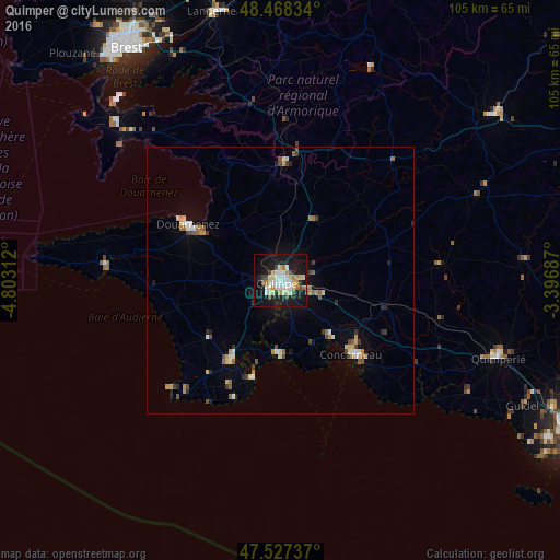
Analysis of Quimper night lights 2016
Square area 10x10 km:
 5.4%
5.4%90-99
8.95%80-89
5.97%70-79
2.98%60-69
3.13%50-59
1.99%40-49
3.41%30-39
1.56%20-29
6.68%10-19
41.9%0-9
18.04%Square area 50x50 km:
0.41%90-99
0.69%80-89
0.54%70-79
0.46%60-69
0.49%50-59
0.51%40-49
0.51%30-39
0.45%20-29
0.58%10-19
2.38%0-9
92.99%Clear (daylight) street map image can be seen on geolist.org.
Map coordinates:
48° 28' 6" North, 4° 48' 11.2" West
48° 0' 0" North, 4° 6' 0" West
47° 31' 38.5" North, 3° 23' 48.7" West
Some cities around Quimper sort by population:
• Concarneau
19.2 km =11.9 mi,  136°
136°
• Douarnenez
20.1 km =12.5 mi,  301°
301°
• Fouesnant
13.6 km =8.5 mi,  152°
152°
• Ergué-Gabéric
5.8 km =3.6 mi,  94°
94°
• Pont-l’Abbé
17.2 km =10.7 mi,  210°
210°
• Rosporden
20.2 km =12.6 mi,  100°
100°
• Châteaulin
21.9 km =13.6 mi,  1°
1°
• Plonéour-Lanvern
17.6 km =10.9 mi,  230°
230°
2984701 (p: 63,849)
Sources (retrieved 2019-11-25):
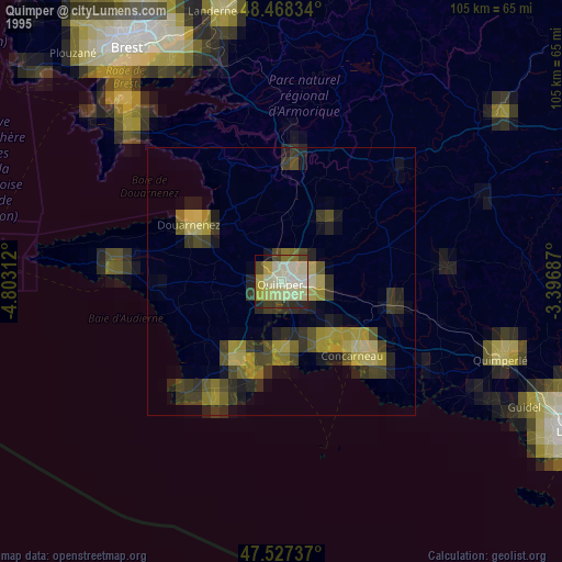
» NASA, Earths city lights 1995
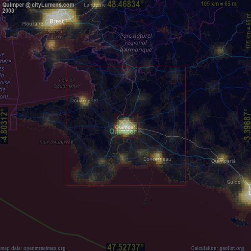
» NASA city lights 2003
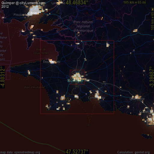
» Earth at Night: Flat Maps 2012, 2016