Pompey night lights from space
Night Light of Pompey (Grand Est) from space (France) Src. Average luminocity for 10x10km area is 35.0455% and for 50x50km: 12.4957%.
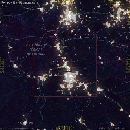
Analysis of Pompey night lights 2016
Square area 10x10 km:
 5.97%
5.97%90-99
8.1%80-89
2.84%70-79
1.7%60-69
3.27%50-59
2.27%40-49
5.68%30-39
7.67%20-29
15.06%10-19
31.96%0-9
15.48%Square area 50x50 km:
2.91%90-99
2.81%80-89
0.73%70-79
0.76%60-69
0.88%50-59
1.08%40-49
1.14%30-39
1.87%20-29
3.41%10-19
10.49%0-9
73.91%Clear (daylight) street map image can be seen on geolist.org.
Map coordinates:
49° 13' 48.2" North, 5° 25' 23.7" East
48° 46' 7.5" North, 6° 7' 35" East
48° 18' 11.5" North, 6° 49' 46.2" East
Some cities around Pompey sort by population:
• Laxou
9.6 km =6 mi,  169°
169°
• Saint-Max
9.3 km =5.8 mi,  140°
140°
• Maxéville
6.8 km =4.2 mi,  154°
154°
• Malzéville
7.6 km =4.7 mi, 145°
• Essey-lès-Nancy
10.2 km =6.3 mi,  133°
133°
• Frouard
1 km =0.6 mi,  163°
163°
• Champigneulles
4.7 km =2.9 mi, 146°
• Liverdun
5.1 km =3.2 mi,  245°
245°
2986385 (p: 5,341)
Sources (retrieved 2019-11-25):
» Earth at Night: Flat Maps 2012, 2016