Plouzané night lights from space
Night Light of Plouzané (Brittany) from space (France) Src. Average luminocity for 10x10km area is 5.3097% and for 50x50km: 4.387%.
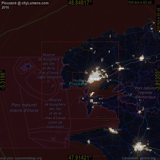
Analysis of Plouzané night lights 2016
Square area 10x10 km:
 0.14%
0.14%90-99
0.14%80-89
0.43%70-79
0.14%60-69
0.85%50-59
0.57%40-49
0.28%30-39
2.13%20-29
1.85%10-19
10.65%0-9
82.81%Square area 50x50 km:
0.91%90-99
0.99%80-89
0.15%70-79
0.26%60-69
0.58%50-59
0.4%40-49
0.42%30-39
0.47%20-29
1.55%10-19
3.14%0-9
91.14%Clear (daylight) street map image can be seen on geolist.org.
Map coordinates:
48° 50' 53.4" North, 5° 19' 11.3" West
48° 22' 60" North, 4° 37' 0" West
47° 54' 51.2" North, 3° 54' 48.8" West
Some cities around Plouzané sort by population:
• Brest
9.7 km =6 mi,  85°
85°
• Guipavas
17.2 km =10.7 mi,  70°
70°
• Le Relecq-Kerhuon
16.7 km =10.4 mi,  80°
80°
• Rd pt des Chataigniers, Rte de Milizac, Guilers, Finistère, France
6.7 km =4.2 mi,  32°
32°
• Guilers
6.4 km =4 mi,  42°
42°
• Saint-Renan
5.6 km =3.5 mi,  0°
0°
• Gouesnou
13.6 km =8.5 mi,  55°
55°
• Ploudalmézeau
16.9 km =10.5 mi,  351°
351°
2986626 (p: 13,118)
Sources (retrieved 2019-11-25):
» Earth at Night: Flat Maps 2012, 2016