Petite-Rosselle night lights from space
Night Light of Petite-Rosselle (Grand Est) from space (France) Src. Average luminocity for 10x10km area is 48.9987% and for 50x50km: 20.9118%.
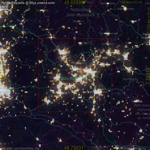
Analysis of Petite-Rosselle night lights 2016
Square area 10x10 km:
 9.09%
9.09%90-99
11.1%80-89
3.88%70-79
3.88%60-69
6.02%50-59
8.42%40-49
8.29%30-39
9.76%20-29
17.78%10-19
21.26%0-9
0.53%Square area 50x50 km:
3.14%90-99
3.41%80-89
1.48%70-79
1.86%60-69
2.48%50-59
2.64%40-49
3.08%30-39
3.7%20-29
8.72%10-19
19.87%0-9
49.61%Clear (daylight) street map image can be seen on geolist.org.
Map coordinates:
49° 40' 8.3" North, 6° 9' 10.6" East
49° 12' 42.4" North, 6° 51' 21.9" East
48° 45' 1.1" North, 7° 33' 33.1" East
Some cities around Petite-Rosselle sort by population:
• Völklingen, DE
4.4 km =2.7 mi,  2°
2°
• Forbach
3.7 km =2.3 mi,  134°
134°
• Wadgassen, DE
8.1 km =5 mi,  319°
319°
• Stiring-Wendel
5.6 km =3.5 mi,  101°
101°
• Behren-lès-Forbach
7.7 km =4.8 mi, 127°
• Großrosseln, DE
1.4 km =0.9 mi,  227°
227°
• Bous, DE
8.3 km =5.2 mi,  331°
331°
• Ludweiler-Warndt, DE
3.4 km =2.1 mi,  287°
287°
2987706 (p: 6,973)
Sources (retrieved 2019-11-25):
» Earth at Night: Flat Maps 2012, 2016