Perros-Guirec night lights from space
Night Light of Perros-Guirec (Brittany) from space (France) Src. Average luminocity for 10x10km area is 1.0369% and for 50x50km: 0.7403%.
Analysis of Perros-Guirec night lights 2016
Square area 10x10 km:
 0%
0%90-99
0%80-89
0%70-79
0%60-69
0%50-59
0%40-49
0.28%30-39
0%20-29
0%10-19
0%0-9
99.72%Square area 50x50 km:
0.06%90-99
0.19%80-89
0.06%70-79
0.1%60-69
0.08%50-59
0.07%40-49
0.08%30-39
0.1%20-29
0.1%10-19
0.19%0-9
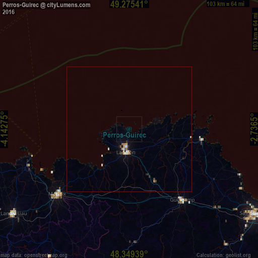
98.97%Clear (daylight) street map image can be seen on geolist.org.
Map coordinates:
49° 16' 31.5" North, 4° 8' 33.9" West
48° 48' 52.3" North, 3° 26' 22.7" West
48° 20' 57.8" North, 2° 44' 11.4" West
Some cities around Perros-Guirec sort by population:
• Lannion
9.2 km =5.7 mi,  187°
187°
• Morlaix
38.8 km =24.1 mi,  227°
227°
• Plérin
57.1 km =35.5 mi,  121°
121°
• Guingamp
35.1 km =21.8 mi,  142°
142°
• Paimpol
29.3 km =18.2 mi,  97°
97°
• Saint-Pol-de-Léon
42.4 km =26.3 mi,  249°
249°
• Pordic
53.1 km =33 mi, 120°
• Saint-Martin-des-Champs
38.7 km =24 mi, 228°
2987863 (p: 8,062)
Sources (retrieved 2019-11-25):
» Earth at Night: Flat Maps 2012, 2016