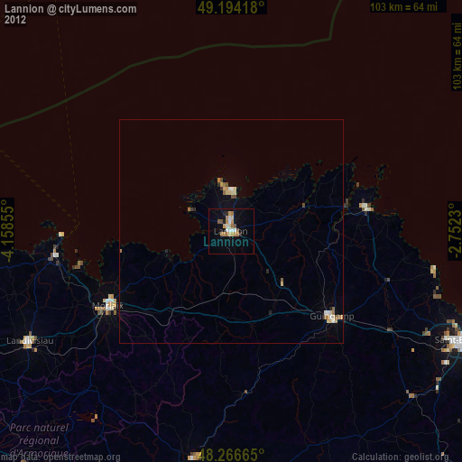
Lannion night lights from space
Night Light of Lannion (Brittany) from space (France) Src. Average luminocity for 10x10km area is 14.2426% and for 50x50km: 0.9803%.
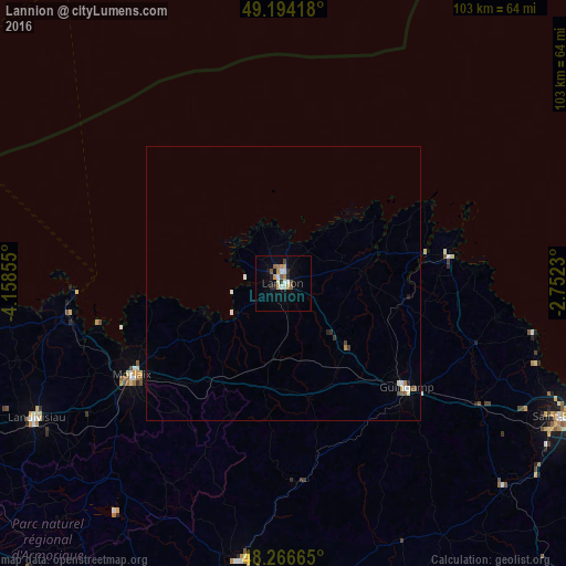
Analysis of Lannion night lights 2016
Square area 10x10 km:
 1.49%
1.49%90-99
3.27%80-89
0.89%70-79
2.68%60-69
1.49%50-59
1.79%40-49
1.49%30-39
0.89%20-29
2.08%10-19
4.46%0-9
79.46%Square area 50x50 km:
0.11%90-99
0.25%80-89
0.06%70-79
0.1%60-69
0.1%50-59
0.1%40-49
0.16%30-39
0.1%20-29
0.12%10-19
0.19%0-9
98.71%Clear (daylight) street map image can be seen on geolist.org.
Map coordinates:
49° 11' 39" North, 4° 9' 30.8" West
48° 43' 57.2" North, 3° 27' 19.5" West
48° 15' 59.9" North, 2° 45' 8.3" West
Some cities around Lannion sort by population:
• Morlaix
32.3 km =20.1 mi,  237°
237°
• Guingamp
29.3 km =18.2 mi,  130°
130°
• Paimpol
30.6 km =19 mi,  80°
80°
• Carhaix-Plouguer
51.5 km =32 mi,  189°
189°
• Perros-Guirec
9.2 km =5.7 mi,  7°
7°
• Saint-Pol-de-Léon
39.1 km =24.3 mi,  261°
261°
• Pordic
50.2 km =31.2 mi,  111°
111°
• Saint-Martin-des-Champs
32.3 km =20.1 mi, 239°
3007609 (p: 21,473)
Sources (retrieved 2019-11-25):
» Earth at Night: Flat Maps 2012, 2016