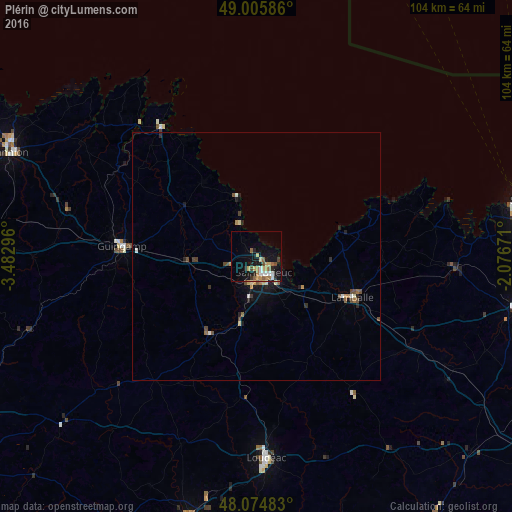
Plérin night lights from space
Night Light of Plérin (Brittany) from space (France) Src. Average luminocity for 10x10km area is 18.7143% and for 50x50km: 1.8127%.
Analysis of Plérin night lights 2016
Square area 10x10 km:
 1.49%
1.49%90-99
2.68%80-89
3.13%70-79
2.38%60-69
3.42%50-59
3.13%40-49
1.64%30-39
1.19%20-29
3.27%10-19
16.82%0-9
60.86%Square area 50x50 km:
0.11%90-99
0.23%80-89
0.23%70-79
0.25%60-69
0.25%50-59
0.3%40-49
0.38%30-39
0.14%20-29
0.39%10-19
1.25%0-9
96.49%Clear (daylight) street map image can be seen on geolist.org.
Map coordinates:
49° 0' 21.1" North, 3° 28' 58.7" West
48° 32' 33" North, 2° 46' 47.4" West
48° 4' 29.4" North, 2° 4' 36.2" West
Some cities around Plérin sort by population:
• Saint-Brieuc
3.2 km =2 mi,  164°
164°
• Lamballe
21.3 km =13.2 mi,  113°
113°
• Ploufragan
5.8 km =3.6 mi,  190°
190°
• Guingamp
27.4 km =17 mi,  274°
274°
• Paimpol
32.6 km =20.3 mi,  323°
323°
• Langueux
6.9 km =4.3 mi,  139°
139°
• Plédran
11 km =6.8 mi,  167°
167°
• Pordic
4.2 km =2.6 mi, 318°
2986795 (p: 13,860)
Sources (retrieved 2019-11-25):
» Earth at Night: Flat Maps 2012, 2016