Olivet night lights from space
Night Light of Olivet (Centre) from space (France) Src. Average luminocity for 10x10km area is 63.3835% and for 50x50km: 9.4266%.
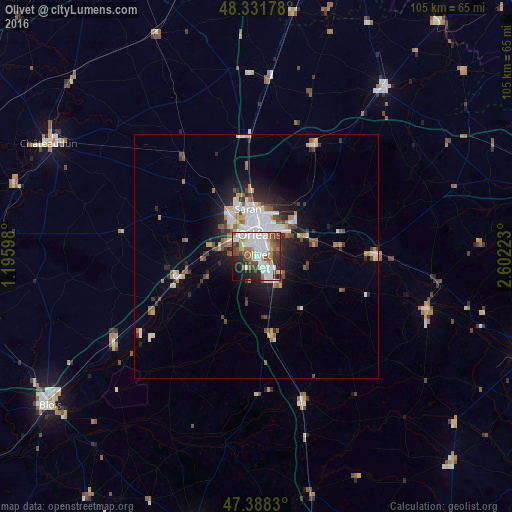
Analysis of Olivet night lights 2016
Square area 10x10 km:
 18.18%
90-99
18.89%80-89
2.84%70-79
5.11%60-69
8.38%50-59
8.66%40-49
8.24%30-39
6.96%20-29
13.21%10-19
7.24%0-9
2.27%Square area 50x50 km:
1.87%90-99
2.22%80-89
0.55%70-79
0.86%60-69
1.03%50-59
1.28%40-49
1.18%30-39
1.18%20-29
2.4%10-19
4.31%0-9
83.11%Clear (daylight) street map image can be seen on geolist.org.
Map coordinates:
48° 19' 54.4" North, 1° 11' 45.5" East
47° 51' 43.9" North, 1° 53' 56.8" East
47° 23' 17.9" North, 2° 36' 8" East
Some cities around Olivet sort by population:
• Orléans
4.5 km =2.8 mi,  4°
4°
• Fleury-les-Aubrais
8 km =5 mi,  10°
10°
• Saint-Jean-de-Braye
8.1 km =5 mi,  45°
45°
• Saint-Jean-de-la-Ruelle
6 km =3.7 mi,  334°
334°
• La Chapelle-Saint-Mesmin
5.5 km =3.4 mi,  299°
299°
• Saint-Jean-le-Blanc
3.7 km =2.3 mi,  19°
19°
• Saint-Denis-en-Val
5.1 km =3.2 mi,  76°
76°
• Saint-Pryvé-Saint-Mesmin
3.1 km =1.9 mi,  314°
314°
2989611 (p: 22,604)
Sources (retrieved 2019-11-25):
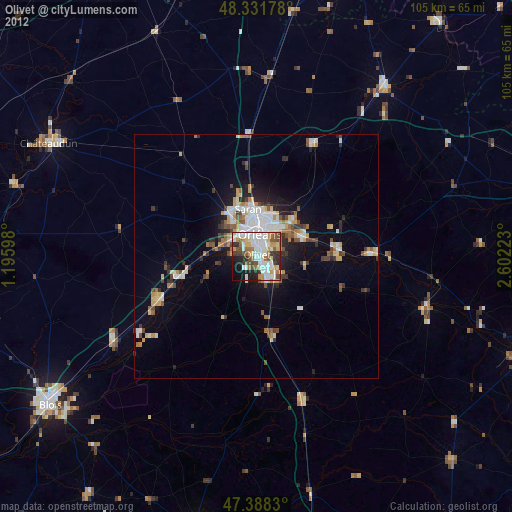
» Earth at Night: Flat Maps 2012, 2016