Fleury-les-Aubrais night lights from space
Night Light of Fleury-les-Aubrais (Centre) from space (France) Src. Average luminocity for 10x10km area is 69.081% and for 50x50km: 9.5084%.
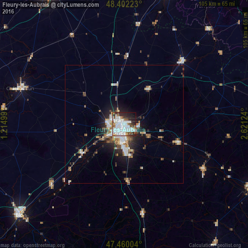
Analysis of Fleury-les-Aubrais night lights 2016
Square area 10x10 km:
 25.14%
90-99
25.28%80-89
1.7%70-79
4.12%60-69
3.69%50-59
5.68%40-49
5.4%30-39
6.68%20-29
13.49%10-19
7.95%0-9
0.85%Square area 50x50 km:
1.88%90-99
2.19%80-89
0.55%70-79
0.86%60-69
1.07%50-59
1.31%40-49
1.18%30-39
1.22%20-29
2.4%10-19
4.36%0-9
82.98%Clear (daylight) street map image can be seen on geolist.org.
Map coordinates:
48° 24' 8" North, 1° 12' 54" East
47° 55' 59.8" North, 1° 55' 5.2" East
47° 27' 36.1" North, 2° 37' 16.5" East
Some cities around Fleury-les-Aubrais sort by population:
• Orléans
3.5 km =2.2 mi,  197°
197°
• Saint-Jean-de-Braye
4.9 km =3 mi,  117°
117°
• Saint-Jean-de-la-Ruelle
4.7 km =2.9 mi,  238°
238°
• Saran
3.7 km =2.3 mi,  300°
300°
• Saint-Jean-le-Blanc
4.5 km =2.8 mi,  182°
182°
• Ingré
6.9 km =4.3 mi,  257°
257°
• Saint-Denis-en-Val
7.6 km =4.7 mi,  151°
151°
• Saint-Pryvé-Saint-Mesmin
6.8 km =4.2 mi,  212°
212°
3018280 (p: 21,085)
Sources (retrieved 2019-11-25):
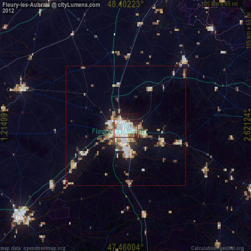
» Earth at Night: Flat Maps 2012, 2016