Montluçon night lights from space
Night Light of Montluçon (Auvergne-Rhône-Alpes) from space (France) Src. Average luminocity for 10x10km area is 28.3125% and for 50x50km: 1.7653%.
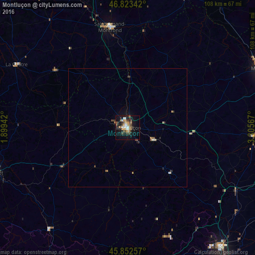
Analysis of Montluçon night lights 2016
Square area 10x10 km:
 2.98%
2.98%90-99
4.17%80-89
1.79%70-79
6.1%60-69
3.87%50-59
4.17%40-49
5.95%30-39
3.27%20-29
4.46%10-19
27.38%0-9
35.86%Square area 50x50 km:
0.16%90-99
0.23%80-89
0.14%70-79
0.28%60-69
0.24%50-59
0.26%40-49
0.38%30-39
0.26%20-29
0.28%10-19
1.37%0-9
96.41%Clear (daylight) street map image can be seen on geolist.org.
Map coordinates:
46° 49' 24.3" North, 1° 53' 57.9" East
46° 20' 24.5" North, 2° 36' 9.1" East
45° 51' 9.3" North, 3° 18' 20.4" East
Some cities around Montluçon sort by population:
• Moulins
61.2 km =38 mi,  65°
65°
• Guéret
59.2 km =36.8 mi,  251°
251°
• Saint-Amand-Montrond
43.2 km =26.8 mi,  350°
350°
• Domérat
5.7 km =3.5 mi,  293°
293°
• Commentry
12.1 km =7.5 mi,  118°
118°
• Gannat
53.1 km =33 mi, 120°
• Châtel-Guyon
58.5 km =36.4 mi,  142°
142°
• Saint-Pourçain-sur-Sioule
52.9 km =32.9 mi,  93°
93°
2992292 (p: 44,960)
Sources (retrieved 2019-11-25):
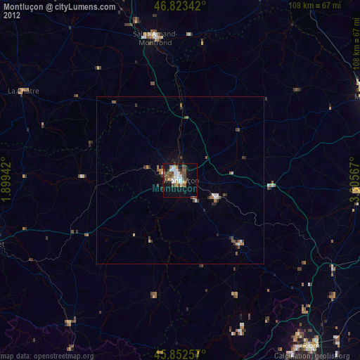
» Earth at Night: Flat Maps 2012, 2016