Montauban night lights from space
Night Light of Montauban (Occitanie) from space (France) Src. Average luminocity for 10x10km area is 39.7397% and for 50x50km: 5.9336%.
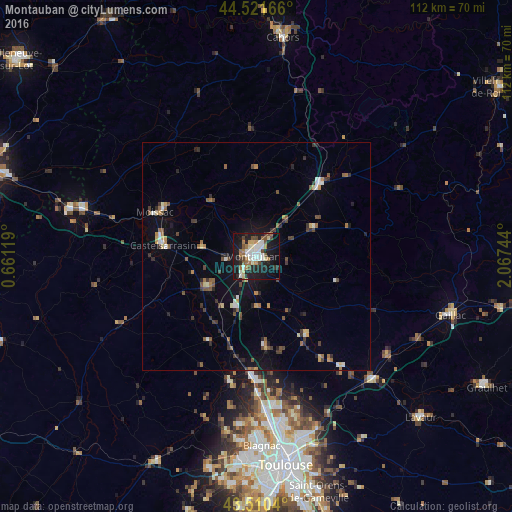
Analysis of Montauban night lights 2016
Square area 10x10 km:
 8.73%
8.73%90-99
7.3%80-89
4.44%70-79
2.06%60-69
7.3%50-59
3.81%40-49
6.35%30-39
1.11%20-29
11.27%10-19
37.78%0-9
9.84%Square area 50x50 km:
0.53%90-99
0.76%80-89
0.55%70-79
0.48%60-69
0.77%50-59
1.05%40-49
1.05%30-39
0.87%20-29
1.38%10-19
3.82%0-9
88.73%Clear (daylight) street map image can be seen on geolist.org.
Map coordinates:
44° 31' 18" North, 0° 39' 40.3" East
44° 1' 5.5" North, 1° 21' 51.6" East
43° 30' 37.4" North, 2° 4' 2.8" East
Some cities around Montauban sort by population:
• Moissac
23.5 km =14.6 mi,  293°
293°
• Castelsarrasin
20.7 km =12.9 mi,  276°
276°
• Castelginest
36.5 km =22.7 mi,  171°
171°
• Saint-Sulpice-la-Pointe
37.3 km =23.2 mi,  136°
136°
• Grenade
28.7 km =17.8 mi,  193°
193°
• Caussade
21.1 km =13.1 mi,  41°
41°
• Villemur-sur-Tarn
20.1 km =12.5 mi,  146°
146°
• Saint-Alban
36.4 km =22.6 mi, 174°
2993002 (p: 52,434)
Sources (retrieved 2019-11-25):
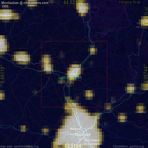
» NASA, Earths city lights 1995
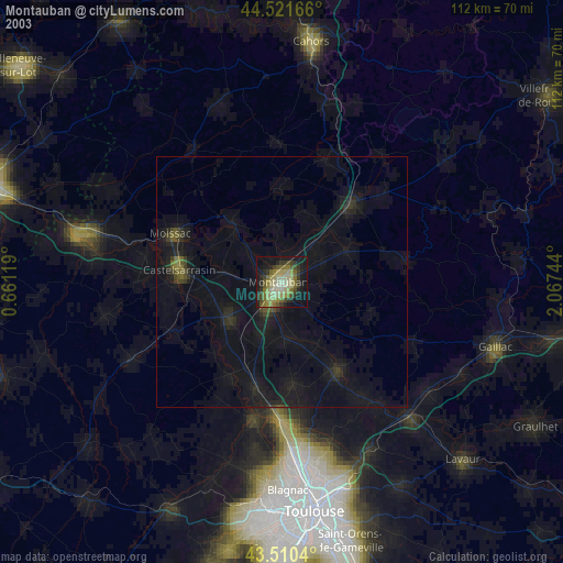
» NASA city lights 2003
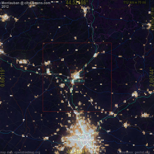
» Earth at Night: Flat Maps 2012, 2016