Marseille 12 night lights from space
Night Light of Marseille 12 (Provence-Alpes-Côte d'Azur) from space (France) Src. Average luminocity for 10x10km area is 86.853% and for 50x50km: 28.384%.
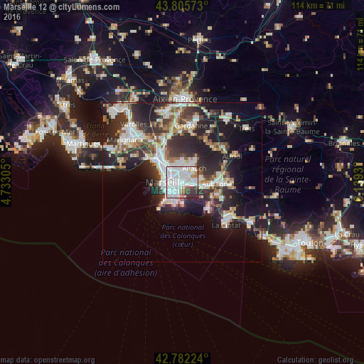
Analysis of Marseille 12 night lights 2016
Square area 10x10 km:
 50.76%
90-99
24.39%80-89
2.12%70-79
2.12%60-69
5%50-59
1.97%40-49
1.36%30-39
8.48%20-29
3.79%10-19
0%0-9
0%Square area 50x50 km:
6.4%90-99
6.19%80-89
2.91%70-79
2.16%60-69
2.88%50-59
2.96%40-49
3.32%30-39
5.31%20-29
9.94%10-19
14.16%0-9
43.76%Clear (daylight) street map image can be seen on geolist.org.
Map coordinates:
43° 48' 20.6" North, 4° 43' 59" East
43° 17' 46.1" North, 5° 26' 10.2" East
42° 46' 56.1" North, 6° 8' 21.5" East
Some cities around Marseille 12 sort by population:
• La Pomme
0.8 km =0.5 mi,  148°
148°
• Saint-Loup
2.1 km =1.3 mi,  190°
190°
• Saint-Barnabé
1.6 km =1 mi,  285°
285°
• Saint-Julien
2.2 km =1.4 mi,  29°
29°
• La Valbarelle
1.9 km =1.2 mi,  131°
131°
• Les Caillols
1.2 km =0.7 mi,  55°
55°
• La Fourragère
0.9 km =0.6 mi,  335°
335°
• La Timone
2 km =1.2 mi,  244°
244°
7284893 (p: 58,734)
Sources (retrieved 2019-11-25):
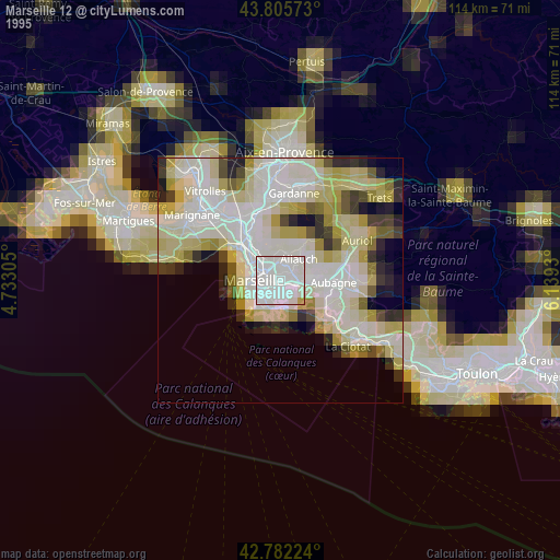
» NASA, Earths city lights 1995
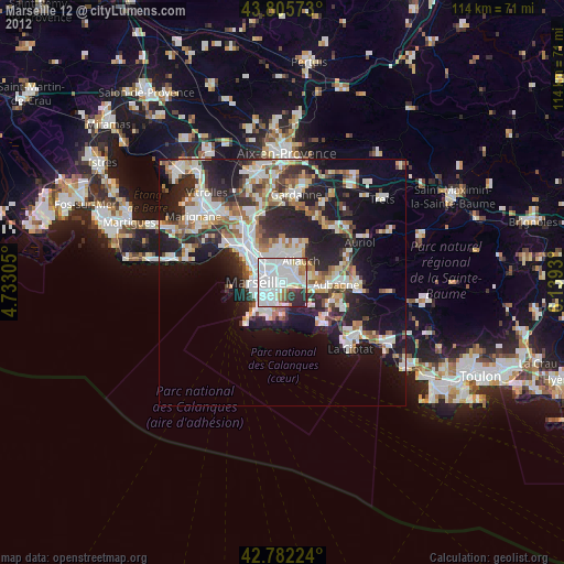
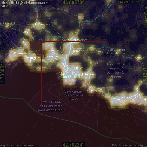
» NASA city lights 2003
» Earth at Night: Flat Maps 2012, 2016