Lisieux night lights from space
Night Light of Lisieux (Normandy) from space (France) Src. Average luminocity for 10x10km area is 9.2941% and for 50x50km: 2.9674%.
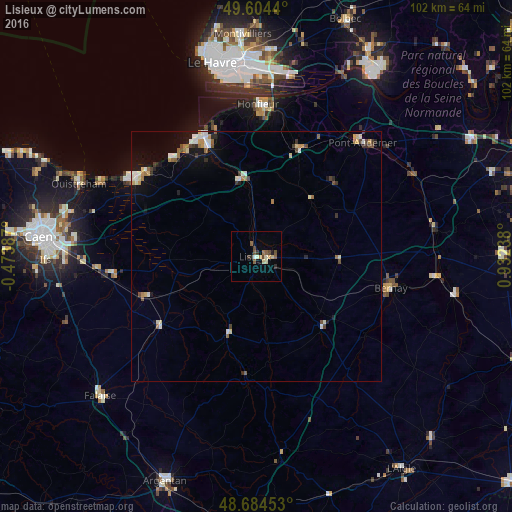
Analysis of Lisieux night lights 2016
Square area 10x10 km:
 0.14%
0.14%90-99
2.1%80-89
1.12%70-79
0.84%60-69
0.84%50-59
2.66%40-49
1.82%30-39
1.68%20-29
1.12%10-19
0.56%0-9
87.11%Square area 50x50 km:
0.38%90-99
0.57%80-89
0.26%70-79
0.33%60-69
0.41%50-59
0.35%40-49
0.48%30-39
0.39%20-29
0.33%10-19
1.33%0-9
95.18%Clear (daylight) street map image can be seen on geolist.org.
Map coordinates:
49° 36' 15.8" North, 0° 28' 25.9" West
49° 8' 47.8" North, 0° 13' 45.3" East
48° 41' 4.3" North, 0° 55' 56.6" East
Some cities around Lisieux sort by population:
• Hérouville-Saint-Clair
39.6 km =24.6 mi,  280°
280°
• Bernay
27.6 km =17.1 mi,  103°
103°
• Pont-Audemer
30.8 km =19.1 mi,  42°
42°
• Ouistreham
38.3 km =23.8 mi,  292°
292°
• Honfleur
30.4 km =18.9 mi,  0°
0°
• Colombelles
38.7 km =24 mi, 279°
• Dives-sur-Mer
28.3 km =17.6 mi,  302°
302°
• Trouville-sur-Mer
26.6 km =16.5 mi,  336°
336°
2998150 (p: 24,473)
Sources (retrieved 2019-11-25):
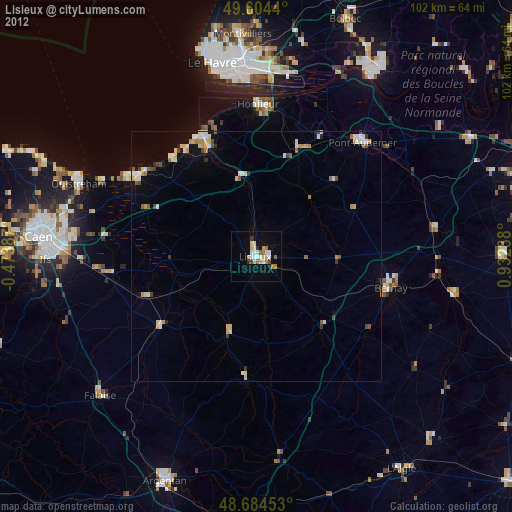
» Earth at Night: Flat Maps 2012, 2016