Honfleur night lights from space
Night Light of Honfleur (Normandy) from space (France) Src. Average luminocity for 10x10km area is 28.2888% and for 50x50km: 11.8959%.
Analysis of Honfleur night lights 2016
Square area 10x10 km:
 3.21%
3.21%90-99
3.07%80-89
1.2%70-79
4.28%60-69
2.67%50-59
4.28%40-49
3.21%30-39
11.23%20-29
18.85%10-19
18.72%0-9
29.28%Square area 50x50 km:
3.09%90-99
2.24%80-89
0.74%70-79
0.94%60-69
1.15%50-59
1.15%40-49
1.26%30-39
1.77%20-29
3.02%10-19
7.39%0-9
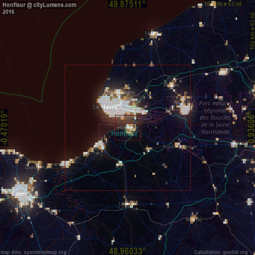
77.24%Clear (daylight) street map image can be seen on geolist.org.
Map coordinates:
49° 52' 30.4" North, 0° 28' 12.7" West
49° 25' 11.5" North, 0° 13' 58.6" East
48° 57' 37.2" North, 0° 56' 9.8" East
Some cities around Honfleur sort by population:
• Le Havre
12.2 km =7.6 mi,  312°
312°
• Montivilliers
14.3 km =8.9 mi,  346°
346°
• Bolbec
24.3 km =15.1 mi,  45°
45°
• Lillebonne
24.6 km =15.3 mi,  62°
62°
• Pont-Audemer
22 km =13.7 mi,  110°
110°
• Sainte-Adresse
14.6 km =9.1 mi, 312°
• Harfleur
10 km =6.2 mi, 345°
• Trouville-sur-Mer
12.6 km =7.8 mi,  241°
241°
3013173 (p: 8,148)
Sources (retrieved 2019-11-25):
» Earth at Night: Flat Maps 2012, 2016