La Conception night lights from space
Night Light of La Conception (Provence-Alpes-Côte d'Azur) from space (France) Src. Average luminocity for 10x10km area is 84.3758% and for 50x50km: 28.0744%.
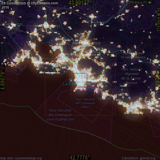
Analysis of La Conception night lights 2016
Square area 10x10 km:
 52.73%
90-99
20.76%80-89
1.52%70-79
1.21%60-69
2.58%50-59
2.88%40-49
3.18%30-39
8.33%20-29
6.06%10-19
0.76%0-9
0%Square area 50x50 km:
6.41%90-99
6.19%80-89
2.8%70-79
2.16%60-69
2.75%50-59
2.93%40-49
3.15%30-39
5.23%20-29
9.95%10-19
14.4%0-9
44.03%Clear (daylight) street map image can be seen on geolist.org.
Map coordinates:
43° 48' 4.9" North, 4° 41' 26.8" East
43° 17' 30.3" North, 5° 23' 38.1" East
42° 46' 40.1" North, 6° 5' 49.3" East
Some cities around La Conception sort by population:
• Marseille 05
0.7 km =0.4 mi,  52°
52°
• Marseille 01
1.1 km =0.7 mi,  311°
311°
• Le Camas
0.3 km =0.2 mi,  3°
3°
• Baille
0.6 km =0.4 mi,  143°
143°
• Saint-Pierre
1.1 km =0.7 mi,  83°
83°
• Lodi
0.7 km =0.4 mi,  215°
215°
• Castellane
1.1 km =0.7 mi,  234°
234°
• Notre-Dame du Mont
1 km =0.6 mi,  277°
277°
11919750 (p: 9,511)
Sources (retrieved 2019-11-25):
» Earth at Night: Flat Maps 2012, 2016