La Blancarde night lights from space
Night Light of La Blancarde (Provence-Alpes-Côte d'Azur) from space (France) Src. Average luminocity for 10x10km area is 90.8318% and for 50x50km: 28.7246%.
Analysis of La Blancarde night lights 2016
Square area 10x10 km:
 57.42%
90-99
25%80-89
1.67%70-79
1.21%60-69
2.73%50-59
1.97%40-49
2.88%30-39
6.06%20-29
1.06%10-19
0%0-9
0%Square area 50x50 km:
6.53%90-99
6.33%80-89
2.93%70-79
2.17%60-69
2.82%50-59
2.95%40-49
3.24%30-39
5.37%20-29
10.14%10-19
14.68%0-9
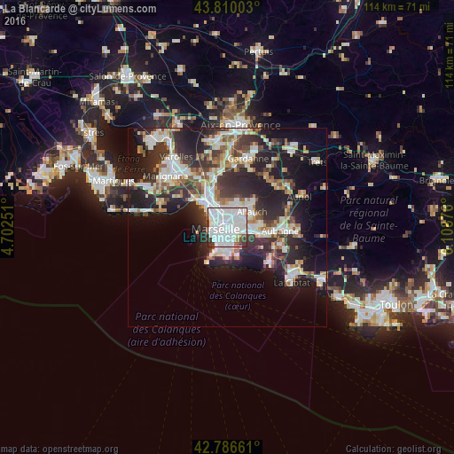
42.83%Clear (daylight) street map image can be seen on geolist.org.
Map coordinates:
43° 48' 36.1" North, 4° 42' 9" East
43° 18' 1.7" North, 5° 24' 20.3" East
42° 47' 11.8" North, 6° 6' 31.5" East
Some cities around La Blancarde sort by population:
• Marseille 04
0.4 km =0.2 mi,  298°
298°
• Marseille 05
0.7 km =0.4 mi,  216°
216°
• Le Camas
1.1 km =0.7 mi,  235°
235°
• Cinq Avenues
0.7 km =0.4 mi, 299°
• Saint-Barnabé
0.9 km =0.6 mi,  93°
93°
• La Conception
1.4 km =0.9 mi, 224°
• Les Chartreux
1.2 km =0.7 mi,  356°
356°
• Saint-Pierre
0.9 km =0.6 mi,  173°
173°
11919748 (p: 15,292)
Sources (retrieved 2019-11-25):
» Earth at Night: Flat Maps 2012, 2016