Le Havre night lights from space
Night Light of Le Havre (Normandy) from space (France) Src. Average luminocity for 10x10km area is 61.6611% and for 50x50km: 10.1854%.
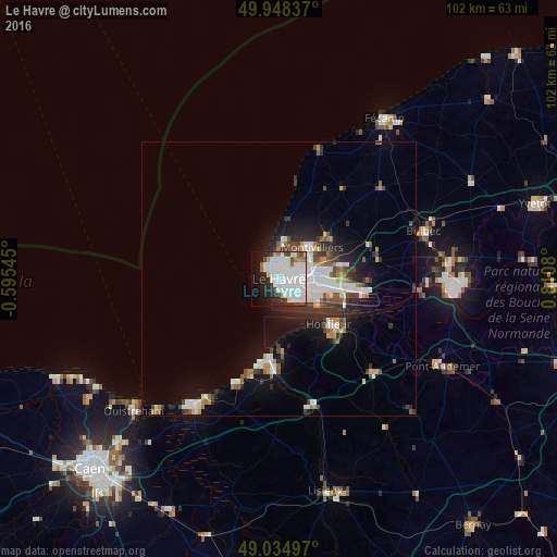
Analysis of Le Havre night lights 2016
Square area 10x10 km:
 31.65%
90-99
16.81%80-89
2.38%70-79
0.7%60-69
3.5%50-59
2.52%40-49
2.94%30-39
3.5%20-29
9.1%10-19
14.29%0-9
12.61%Square area 50x50 km:
2.77%90-99
1.95%80-89
0.62%70-79
0.79%60-69
0.87%50-59
0.99%40-49
1.12%30-39
1.56%20-29
2.66%10-19
5.52%0-9
81.15%Clear (daylight) street map image can be seen on geolist.org.
Map coordinates:
49° 56' 54.1" North, 0° 35' 43.6" West
49° 29' 37.7" North, 0° 6' 27.6" East
49° 2' 5.9" North, 0° 48' 38.9" East
Some cities around Le Havre sort by population:
• Montivilliers
8.1 km =5 mi,  45°
45°
• Bolbec
27.8 km =17.3 mi,  71°
71°
• Lillebonne
31.1 km =19.3 mi,  84°
84°
• Sainte-Adresse
2.4 km =1.5 mi,  315°
315°
• Harfleur
6.7 km =4.2 mi, 77°
• Honfleur
12.2 km =7.6 mi,  132°
132°
• Dives-sur-Mer
28 km =17.4 mi,  212°
212°
• Trouville-sur-Mer
14.4 km =8.9 mi,  187°
187°
3003796 (p: 185,972)
Sources (retrieved 2019-11-25):
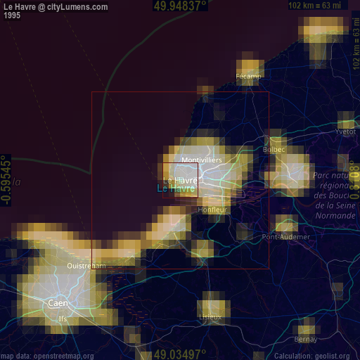
» NASA, Earths city lights 1995
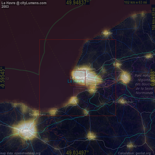
» NASA city lights 2003
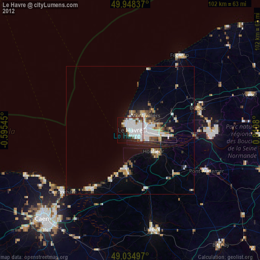
» Earth at Night: Flat Maps 2012, 2016