Sainte-Adresse night lights from space
Night Light of Sainte-Adresse (Normandy) from space (France) Src. Average luminocity for 10x10km area is 48.8025% and for 50x50km: 9.8915%.
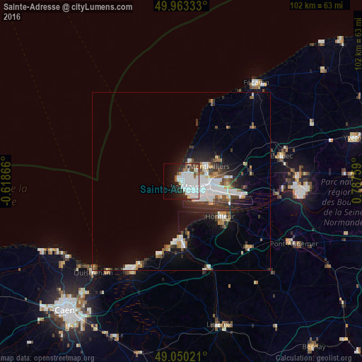
Analysis of Sainte-Adresse night lights 2016
Square area 10x10 km:
 22.13%
90-99
13.73%80-89
1.54%70-79
0.7%60-69
3.78%50-59
2.52%40-49
3.64%30-39
3.64%20-29
7.84%10-19
14.29%0-9
26.19%Square area 50x50 km:
2.76%90-99
1.89%80-89
0.6%70-79
0.77%60-69
0.8%50-59
0.99%40-49
1.02%30-39
1.46%20-29
2.56%10-19
5.48%0-9
81.67%Clear (daylight) street map image can be seen on geolist.org.
Map coordinates:
49° 57' 48" North, 0° 37' 7.2" West
49° 30' 32" North, 0° 5' 4.1" East
49° 3' 0.8" North, 0° 47' 15.3" East
Some cities around Sainte-Adresse sort by population:
• Le Havre
2.4 km =1.5 mi,  135°
135°
• Montivilliers
8.5 km =5.3 mi,  61°
61°
• Bolbec
29 km =18 mi,  75°
75°
• Lillebonne
32.6 km =20.3 mi,  87°
87°
• Harfleur
8.2 km =5.1 mi, 91°
• Honfleur
14.6 km =9.1 mi,  132°
132°
• Dives-sur-Mer
28.6 km =17.8 mi,  208°
208°
• Trouville-sur-Mer
15.9 km =9.9 mi,  181°
181°
2980795 (p: 8,310)
Sources (retrieved 2019-11-25):
» Earth at Night: Flat Maps 2012, 2016