Fécamp night lights from space
Night Light of Fécamp (Normandy) from space (France) Src. Average luminocity for 10x10km area is 12.5709% and for 50x50km: 3.3058%.

Analysis of Fécamp night lights 2016
Square area 10x10 km:
 2.14%
2.14%90-99
2.14%80-89
0.67%70-79
1.6%60-69
0.8%50-59
3.61%40-49
1.34%30-39
0%20-29
1.47%10-19
1.74%0-9
84.49%Square area 50x50 km:
0.3%90-99
0.41%80-89
0.28%70-79
0.33%60-69
0.37%50-59
0.58%40-49
0.53%30-39
0.59%20-29
0.95%10-19
2.46%0-9
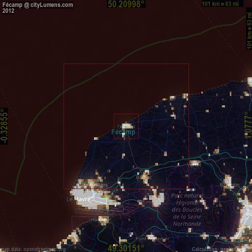
93.19%Clear (daylight) street map image can be seen on geolist.org.
Map coordinates:
50° 12' 35.9" North, 0° 19' 42.8" West
49° 45' 28.3" North, 0° 22' 28.5" East
49° 18' 5.4" North, 1° 4' 39.7" East
Some cities around Fécamp sort by population:
• Montivilliers
27.2 km =16.9 mi,  209°
209°
• Bolbec
21.7 km =13.5 mi,  160°
160°
• Yvetot
31.7 km =19.7 mi,  119°
119°
• Lillebonne
28.9 km =18 mi, 156°
• Notre-Dame-de-Gravenchon
33.1 km =20.6 mi,  154°
154°
• Sainte-Adresse
34.7 km =21.6 mi,  217°
217°
• Harfleur
30.7 km =19.1 mi,  204°
204°
• Saint-Valery-en-Caux
28.4 km =17.6 mi,  64°
64°
3018794 (p: 22,003)
Sources (retrieved 2019-11-25):
» Earth at Night: Flat Maps 2012, 2016