Draguignan night lights from space
Night Light of Draguignan (Provence-Alpes-Côte d'Azur) from space (France) Src. Average luminocity for 10x10km area is 30.2238% and for 50x50km: 10.0535%.
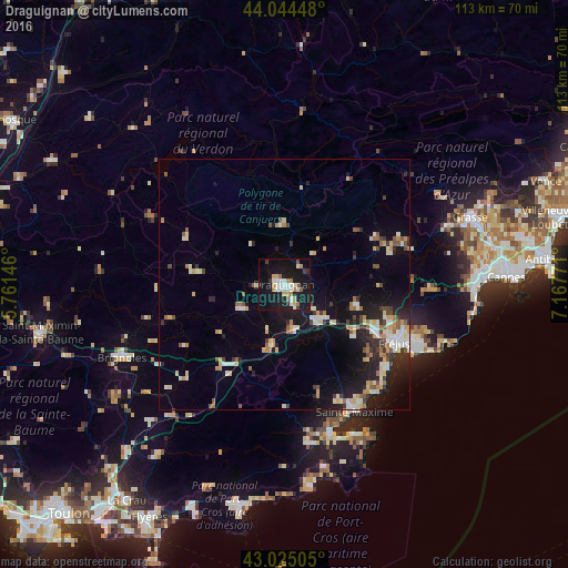
Analysis of Draguignan night lights 2016
Square area 10x10 km:
 5.24%
5.24%90-99
7.14%80-89
2.38%70-79
2.54%60-69
4.44%50-59
2.7%40-49
0%30-39
2.54%20-29
3.33%10-19
46.98%0-9
22.7%Square area 50x50 km:
1.02%90-99
2.08%80-89
1.24%70-79
1.02%60-69
1.17%50-59
1.09%40-49
0.91%30-39
1.17%20-29
2.24%10-19
8.41%0-9
79.65%Clear (daylight) street map image can be seen on geolist.org.
Map coordinates:
44° 2' 40.1" North, 5° 45' 41.3" East
43° 32' 12.9" North, 6° 27' 52.5" East
43° 1' 30.2" North, 7° 10' 3.8" East
Some cities around Draguignan sort by population:
• Roquebrune-sur-Argens
17.4 km =10.8 mi,  126°
126°
• Le Muy
10.9 km =6.8 mi, 130°
• Lorgues
9.6 km =6 mi,  239°
239°
• Le Luc
20 km =12.4 mi,  217°
217°
• Vidauban
12.5 km =7.8 mi,  192°
192°
• Puget-sur-Argens
20 km =12.4 mi,  116°
116°
• Les Arcs
8.3 km =5.2 mi,  172°
172°
• Trans-en-Provence
4.1 km =2.5 mi,  154°
154°
3020850 (p: 38,573)
Sources (retrieved 2019-11-25):
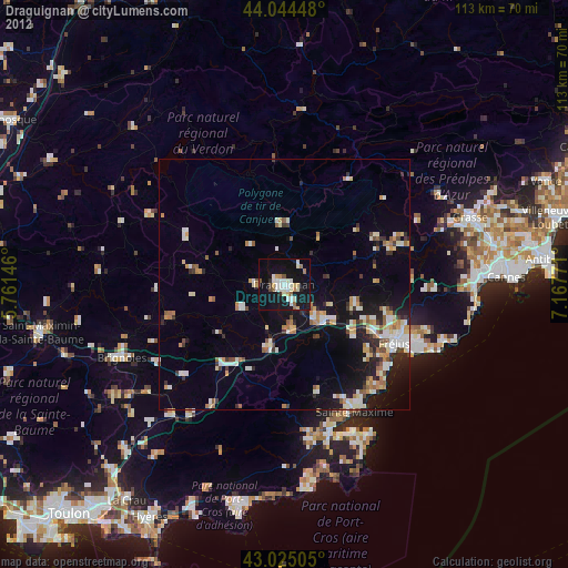
» Earth at Night: Flat Maps 2012, 2016