Boucau night lights from space
Night Light of Boucau (Nouvelle-Aquitaine) from space (France) Src. Average luminocity for 10x10km area is 54.4762% and for 50x50km: 8.4667%.
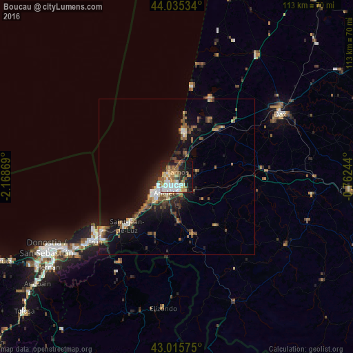
Analysis of Boucau night lights 2016
Square area 10x10 km:
 11.11%
90-99
12.7%80-89
4.76%70-79
10.16%60-69
11.9%50-59
5.24%40-49
3.17%30-39
3.17%20-29
13.97%10-19
20.95%0-9
2.86%Square area 50x50 km:
0.95%90-99
1.25%80-89
0.65%70-79
0.91%60-69
1.41%50-59
1.57%40-49
1.21%30-39
1.09%20-29
2.42%10-19
6.73%0-9
81.82%Clear (daylight) street map image can be seen on geolist.org.
Map coordinates:
44° 2' 7.2" North, 2° 10' 7.3" West
43° 31' 39.7" North, 1° 27' 56" West
43° 0' 56.7" North, 0° 45' 44.8" West
Some cities around Boucau sort by population:
• Bayonne
4 km =2.5 mi,  192°
192°
• Anglet
6.9 km =4.3 mi,  214°
214°
• Biarritz
9 km =5.6 mi,  233°
233°
• Tarnos
1.6 km =1 mi,  8°
8°
• Capbreton
13.1 km =8.1 mi, 13°
• Saint-Vincent-de-Tyrosse
19.5 km =12.1 mi,  40°
40°
• Ustaritz
14.6 km =9.1 mi,  176°
176°
• Bidart
14.3 km =8.9 mi, 225°
3031389 (p: 7,532)
Sources (retrieved 2019-11-25):
» Earth at Night: Flat Maps 2012, 2016