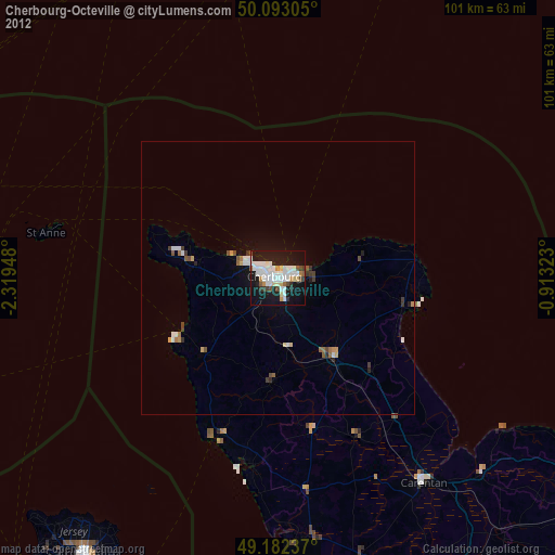
Cherbourg-Octeville night lights from space
Night Light of Cherbourg-Octeville (Normandy) from space (France) Src. Average luminocity for 10x10km area is 44.7969% and for 50x50km: 3.2789%.
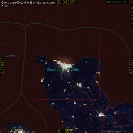
Analysis of Cherbourg-Octeville night lights 2016
Square area 10x10 km:
 14.71%
90-99
11.62%80-89
3.64%70-79
1.96%60-69
1.4%50-59
2.8%40-49
3.5%30-39
2.52%20-29
17.37%10-19
31.79%0-9
8.68%Square area 50x50 km:
0.69%90-99
0.82%80-89
0.22%70-79
0.12%60-69
0.19%50-59
0.3%40-49
0.35%30-39
0.37%20-29
0.79%10-19
2.64%0-9
93.5%Clear (daylight) street map image can be seen on geolist.org.
Map coordinates:
50° 5' 35" North, 2° 19' 10.1" West
49° 38' 23.4" North, 1° 36' 58.9" West
49° 10' 56.5" North, 0° 54' 47.6" West
Some cities around Cherbourg-Octeville sort by population:
• Équeurdreville-Hainneville
2.8 km =1.7 mi,  290°
290°
• Tourlaville
3.6 km =2.2 mi,  92°
92°
• Octeville
2.5 km =1.6 mi,  232°
232°
• Valognes
18 km =11.2 mi,  144°
144°
• Carentan
45.9 km =28.5 mi, 144°
• Querqueville
5.9 km =3.7 mi,  295°
295°
• La Glacerie
4.6 km =2.9 mi,  147°
147°
• St Anne, GG
43.4 km =27 mi,  281°
281°
3025466 (p: 26,655)
Sources (retrieved 2019-11-25):
» Earth at Night: Flat Maps 2012, 2016