Châteauroux night lights from space
Night Light of Châteauroux (Centre) from space (France) Src. Average luminocity for 10x10km area is 42.0417% and for 50x50km: 2.9406%.
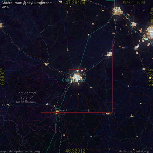
Analysis of Châteauroux night lights 2016
Square area 10x10 km:
 8.48%
8.48%90-99
12.95%80-89
2.98%70-79
3.13%60-69
3.87%50-59
4.02%40-49
3.42%30-39
4.91%20-29
12.2%10-19
34.08%0-9
9.97%Square area 50x50 km:
0.39%90-99
0.62%80-89
0.25%70-79
0.3%60-69
0.33%50-59
0.32%40-49
0.43%30-39
0.3%20-29
0.68%10-19
2.15%0-9
94.24%Clear (daylight) street map image can be seen on geolist.org.
Map coordinates:
47° 17' 29.5" North, 0° 59' 25.8" East
46° 48' 44.9" North, 1° 41' 37" East
46° 19' 44.8" North, 2° 23' 48.3" East
Some cities around Châteauroux sort by population:
• Vierzon
53.7 km =33.4 mi,  31°
31°
• Issoudun
27.4 km =17 mi,  56°
56°
• Déols
2 km =1.2 mi,  23°
23°
• Mehun-sur-Yèvre
53.4 km =33.2 mi,  47°
47°
• Saint-Florent-sur-Cher
47 km =29.2 mi, 64°
• Le Blanc
52 km =32.3 mi,  247°
247°
• Argenton-sur-Creuse
28.1 km =17.5 mi,  208°
208°
• Le Poinçonnet
5.7 km =3.5 mi,  161°
161°
3026204 (p: 53,301)
Sources (retrieved 2019-11-25):
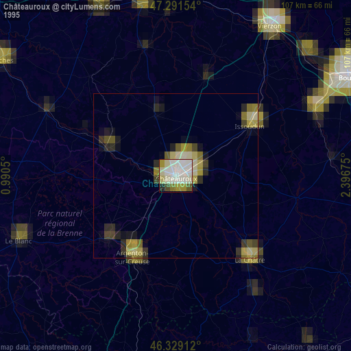
» NASA, Earths city lights 1995
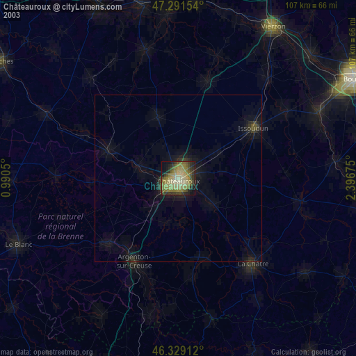
» NASA city lights 2003
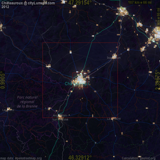
» Earth at Night: Flat Maps 2012, 2016