Avallon night lights from space
Night Light of Avallon (Bourgogne-Franche-Comté) from space (France) Src. Average luminocity for 10x10km area is 8.4972% and for 50x50km: 0.6549%.
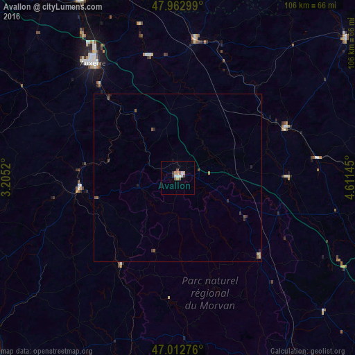
Analysis of Avallon night lights 2016
Square area 10x10 km:
 1.28%
1.28%90-99
1.56%80-89
0.85%70-79
1.42%60-69
0.57%50-59
0.99%40-49
1.85%30-39
0.57%20-29
0%10-19
0.57%0-9
90.34%Square area 50x50 km:
0.05%90-99
0.06%80-89
0.1%70-79
0.08%60-69
0.05%50-59
0.17%40-49
0.16%30-39
0.13%20-29
0.13%10-19
0.05%0-9
99.02%Clear (daylight) street map image can be seen on geolist.org.
Map coordinates:
47° 57' 46.8" North, 3° 12' 18.7" East
47° 29' 24.1" North, 3° 54' 30" East
47° 0' 45.9" North, 4° 36' 41.2" East
Some cities around Avallon sort by population:
• Auxerre
42.7 km =26.5 mi,  323°
323°
• Migennes
60.4 km =37.5 mi,  331°
331°
• Châtillon-sur-Seine
64.5 km =40.1 mi,  50°
50°
• Saint-Florentin
58.4 km =36.3 mi,  346°
346°
• Montbard
35.4 km =22 mi,  65°
65°
• Tonnerre
41 km =25.5 mi,  6°
6°
• Monéteau
46.8 km =29.1 mi, 328°
• Semur-en-Auxois
31.9 km =19.8 mi,  91°
91°
3035768 (p: 8,740)
Sources (retrieved 2019-11-25):
» Earth at Night: Flat Maps 2012, 2016