Annemasse night lights from space
Night Light of Annemasse (Auvergne-Rhône-Alpes) from space (France) Src. Average luminocity for 10x10km area is 52.5639% and for 50x50km: 19.4942%.
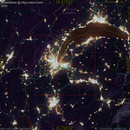
Analysis of Annemasse night lights 2016
Square area 10x10 km:
 8.38%
8.38%90-99
11.79%80-89
4.26%70-79
4.83%60-69
7.24%50-59
12.07%40-49
8.52%30-39
9.8%20-29
21.73%10-19
11.36%0-9
0%Square area 50x50 km:
2.51%90-99
3.36%80-89
1.31%70-79
1.67%60-69
2.33%50-59
2.88%40-49
3.8%30-39
3.64%20-29
5.32%10-19
19.78%0-9
53.4%Clear (daylight) street map image can be seen on geolist.org.
Map coordinates:
46° 40' 44.2" North, 5° 32' 4.7" East
46° 11' 39.8" North, 6° 14' 15.9" East
45° 42' 19.9" North, 6° 56' 27.2" East
Some cities around Annemasse sort by population:
• Thônex, CH
3.1 km =1.9 mi,  256°
256°
• Gaillard
2.6 km =1.6 mi,  246°
246°
• Chêne-Bougeries, CH
4 km =2.5 mi,  276°
276°
• Veyrier, CH
5.1 km =3.2 mi,  233°
233°
• Chêne-Bourg, CH
3.4 km =2.1 mi,  271°
271°
• Ville-la-Grand
1.3 km =0.8 mi,  44°
44°
• Vétraz-Monthoux
2.7 km =1.7 mi,  144°
144°
• Reignier-Ésery
7.1 km =4.4 mi,  161°
161°
3037538 (p: 28,275)
Sources (retrieved 2019-11-25):
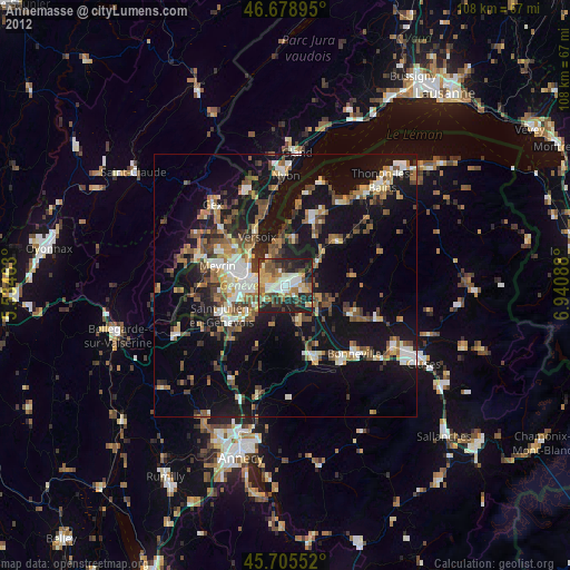
» Earth at Night: Flat Maps 2012, 2016