Viitasaari night lights from space
Night Light of Viitasaari (Central Finland) from space (Finland) Src. Average luminocity for 10x10km area is 9.5288% and for 50x50km: 0.735%.
Analysis of Viitasaari night lights 2016
Square area 10x10 km:
 1.29%
1.29%90-99
2.98%80-89
0.89%70-79
0.79%60-69
0.79%50-59
0.3%40-49
1.29%30-39
0.4%20-29
0.79%10-19
2.48%0-9
88%Square area 50x50 km:
0.13%90-99
0.22%80-89
0.05%70-79
0.06%60-69
0.03%50-59
0.04%40-49
0.06%30-39
0.12%20-29
0.05%10-19
0.1%0-9
99.15%Clear (daylight) street map image can be seen on geolist.org.
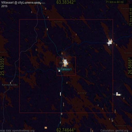
Map coordinates:
63° 23' 0.3" North, 25° 9' 48.8" East
63° 4' 0" North, 25° 52' 0" East
62° 44' 47.2" North, 26° 34' 11.3" East
Some cities around Viitasaari sort by population:
• Laukaa
72.7 km =45.2 mi,  176°
176°
• Äänekoski
52.3 km =32.5 mi,  187°
187°
• Saarijärvi
50.8 km =31.6 mi,  217°
217°
• Kiuruvesi
74.9 km =46.5 mi,  29°
29°
• Haapajärvi
80.5 km =50 mi,  340°
340°
• Pyhäjärvi
66.7 km =41.4 mi,  1°
1°
• Pielavesi
48.1 km =29.9 mi,  67°
67°
• Suolahti
55.9 km =34.7 mi, 180°
631560 (p: 7,511)
Sources (retrieved 2019-11-25):
» Earth at Night: Flat Maps 2012, 2016