Vantaa night lights from space
Night Light of Vantaa (Uusimaa) from space (Finland) Src. Average luminocity for 10x10km area is 94.4621% and for 50x50km: 33.2438%.
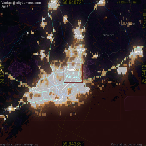
Analysis of Vantaa night lights 2016
Square area 10x10 km:
 63.31%
90-99
20.56%80-89
5.19%70-79
3.03%60-69
3.79%50-59
1.3%40-49
2.27%30-39
0.54%20-29
0%10-19
0%0-9
0%Square area 50x50 km:
12.16%90-99
7.84%80-89
2.95%70-79
2.56%60-69
2.86%50-59
2.49%40-49
2.07%30-39
2.83%20-29
5.91%10-19
11.01%0-9
47.31%Clear (daylight) street map image can be seen on geolist.org.
Map coordinates:
60° 38' 26.6" North, 24° 20' 16.3" East
60° 17' 38.9" North, 25° 2' 27.6" East
59° 56' 37.9" North, 25° 44' 38.8" East
Some cities around Vantaa sort by population:
• Helsinki
15 km =9.3 mi,  202°
202°
• Mellunkylä
7.5 km =4.7 mi,  154°
154°
• Vuosaari
10.9 km =6.8 mi, 149°
• Tuusula
12.2 km =7.6 mi,  356°
356°
• Kerava
12.6 km =7.8 mi,  16°
16°
• Kallio
13.2 km =8.2 mi, 202°
• Kaarela
10 km =6.2 mi,  241°
241°
• Munkkiniemi
13.9 km =8.6 mi,  220°
220°
632453 (p: 190,058)
Sources (retrieved 2019-11-25):
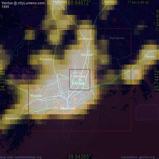
» NASA, Earths city lights 1995
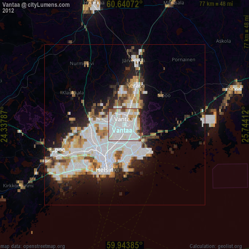
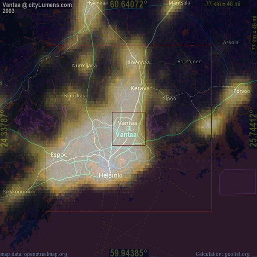
» NASA city lights 2003
» Earth at Night: Flat Maps 2012, 2016