Kerava night lights from space
Night Light of Kerava (Uusimaa) from space (Finland) Src. Average luminocity for 10x10km area is 60.8907% and for 50x50km: 30.4565%.
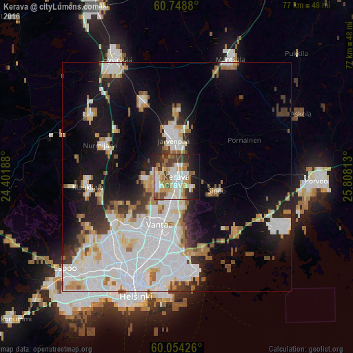
Analysis of Kerava night lights 2016
Square area 10x10 km:
 13.2%
13.2%90-99
15.91%80-89
7.68%70-79
7.79%60-69
9.2%50-59
6.71%40-49
7.9%30-39
8.23%20-29
9.74%10-19
10.93%0-9
2.71%Square area 50x50 km:
11.07%90-99
7.15%80-89
2.7%70-79
2.45%60-69
2.65%50-59
2.39%40-49
1.49%30-39
2.11%20-29
4.55%10-19
12.11%0-9
51.33%Clear (daylight) street map image can be seen on geolist.org.
Map coordinates:
60° 44' 55.7" North, 24° 24' 6.8" East
60° 24' 12.2" North, 25° 6' 18" East
60° 3' 15.3" North, 25° 48' 29.3" East
Some cities around Kerava sort by population:
• Vantaa
12.6 km =7.8 mi,  196°
196°
• Järvenpää
7.9 km =4.9 mi,  353°
353°
• Nurmijärvi
17.7 km =11 mi,  292°
292°
• Mellunkylä
18.9 km =11.7 mi,  180°
180°
• Vuosaari
21.6 km =13.4 mi,  174°
174°
• Tuusula
4.3 km =2.7 mi,  270°
270°
• Kaarela
20.9 km =13 mi,  216°
216°
• Sibbo
9.5 km =5.9 mi,  107°
107°
653185 (p: 31,347)
Sources (retrieved 2019-11-25):
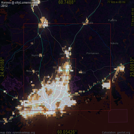
» Earth at Night: Flat Maps 2012, 2016