Kaarela night lights from space
Night Light of Kaarela (Uusimaa) from space (Finland) Src. Average luminocity for 10x10km area is 96.4091% and for 50x50km: 32.3726%.
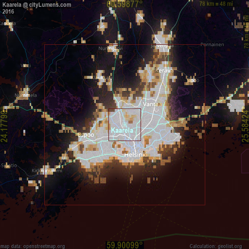
Analysis of Kaarela night lights 2016
Square area 10x10 km:
 60.06%
90-99
29%80-89
5.84%70-79
1.84%60-69
1.3%50-59
0.11%40-49
1.62%30-39
0.22%20-29
0%10-19
0%0-9
0%Square area 50x50 km:
11.81%90-99
7.61%80-89
2.79%70-79
2.57%60-69
2.85%50-59
2.62%40-49
2%30-39
2.74%20-29
5.76%10-19
10.55%0-9
48.71%Clear (daylight) street map image can be seen on geolist.org.
Map coordinates:
60° 35' 55.6" North, 24° 10' 40.8" East
60° 15' 6.3" North, 24° 52' 52" East
59° 54' 3.6" North, 25° 35' 3.3" East
Some cities around Kaarela sort by population:
• Helsinki
9.6 km =6 mi,  161°
161°
• Espoo
13.7 km =8.5 mi,  247°
247°
• Vantaa
10 km =6.2 mi,  61°
61°
• Mellunkylä
12.2 km =7.6 mi,  99°
99°
• Kallio
8.4 km =5.2 mi,  152°
152°
• Lauttasaari
10.3 km =6.4 mi,  184°
184°
• Munkkiniemi
5.9 km =3.7 mi, 181°
• Kauniainen
9.6 km =6 mi,  242°
242°
655143 (p: 26,414)
Sources (retrieved 2019-11-25):
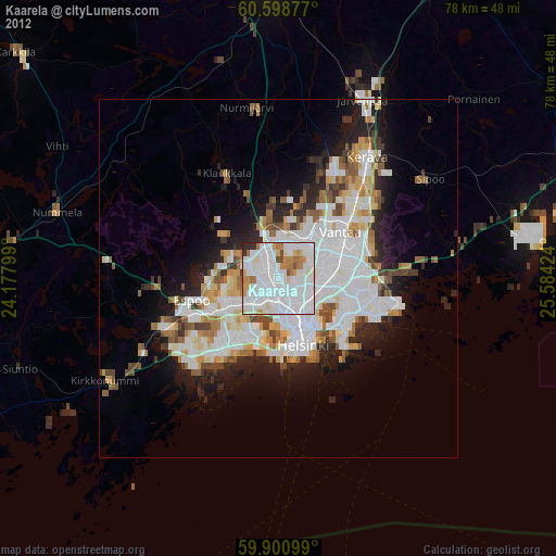
» Earth at Night: Flat Maps 2012, 2016