Tuusula night lights from space
Night Light of Tuusula (Uusimaa) from space (Finland) Src. Average luminocity for 10x10km area is 57.9859% and for 50x50km: 30.2016%.
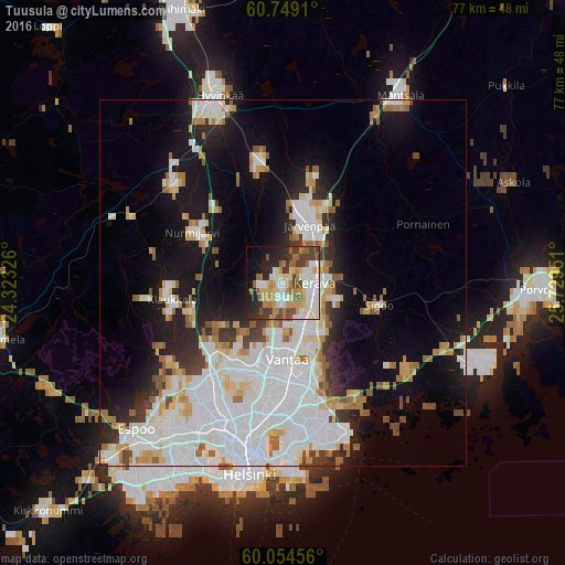
Analysis of Tuusula night lights 2016
Square area 10x10 km:
 11.47%
90-99
14.72%80-89
8.12%70-79
8.33%60-69
8.33%50-59
6.28%40-49
8.66%30-39
5.84%20-29
11.36%10-19
10.06%0-9
6.82%Square area 50x50 km:
10.87%90-99
7.12%80-89
2.75%70-79
2.5%60-69
2.78%50-59
2.42%40-49
1.45%30-39
2.01%20-29
4.37%10-19
11.67%0-9
52.08%Clear (daylight) street map image can be seen on geolist.org.
Map coordinates:
60° 44' 56.8" North, 24° 19' 23.7" East
60° 24' 13.2" North, 25° 1' 35" East
60° 3' 16.4" North, 25° 43' 46.2" East
Some cities around Tuusula sort by population:
• Vantaa
12.2 km =7.6 mi,  176°
176°
• Järvenpää
8.5 km =5.3 mi,  24°
24°
• Nurmijärvi
13.8 km =8.6 mi,  299°
299°
• Mellunkylä
19.3 km =12 mi,  167°
167°
• Vuosaari
22.5 km =14 mi,  163°
163°
• Kerava
4.3 km =2.7 mi,  90°
90°
• Kaarela
18.7 km =11.6 mi,  205°
205°
• Sibbo
13.6 km =8.5 mi,  102°
102°
633591 (p: 34,725)
Sources (retrieved 2019-11-25):
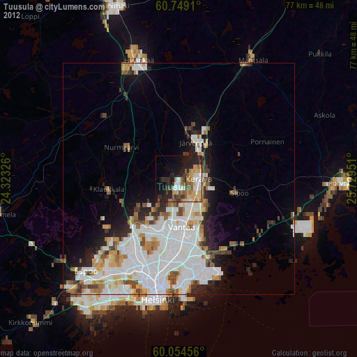
» Earth at Night: Flat Maps 2012, 2016