Hyvinge night lights from space
Night Light of Hyvinge (Uusimaa) from space (Finland) Src. Average luminocity for 10x10km area is 36.9153% and for 50x50km: 9.7782%.
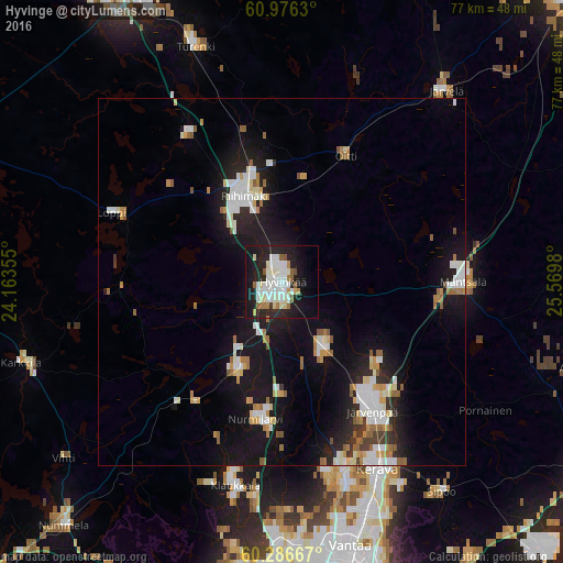
Analysis of Hyvinge night lights 2016
Square area 10x10 km:
 9.81%
9.81%90-99
10.43%80-89
3.41%70-79
1.34%60-69
3.1%50-59
3.72%40-49
0.21%30-39
0.52%20-29
16.43%10-19
28.31%0-9
22.73%Square area 50x50 km:
1.85%90-99
2.14%80-89
0.77%70-79
0.93%60-69
1.12%50-59
1.14%40-49
0.31%30-39
0.48%20-29
2.58%10-19
9.81%0-9
78.88%Clear (daylight) street map image can be seen on geolist.org.
Map coordinates:
60° 58' 34.7" North, 24° 9' 48.8" East
60° 37' 60" North, 24° 52' 0" East
60° 17' 12" North, 25° 34' 11.3" East
Some cities around Hyvinge sort by population:
• Järvenpää
21.5 km =13.4 mi,  145°
145°
• Nurmijärvi
19.1 km =11.9 mi,  189°
189°
• Tuusula
27 km =16.8 mi,  161°
161°
• Kerava
28.7 km =17.8 mi, 152°
• Riihimäki
12.6 km =7.8 mi,  337°
337°
• Mäntsälä
24.5 km =15.2 mi,  90°
90°
• Hausjärvi
17.1 km =10.6 mi,  12°
12°
• Loppi
24.5 km =15.2 mi,  292°
292°
656913 (p: 43,515)
Sources (retrieved 2019-11-25):
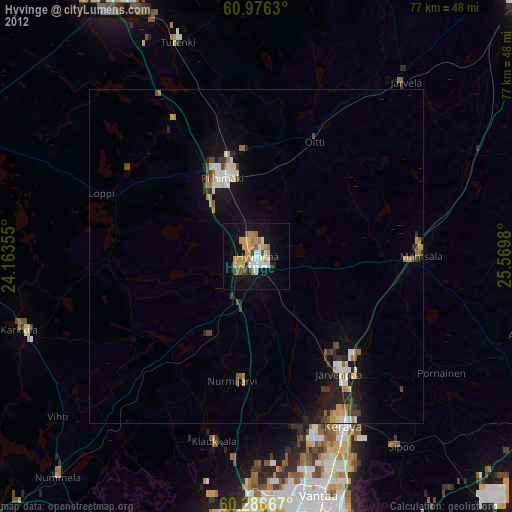
» Earth at Night: Flat Maps 2012, 2016