Alajärvi night lights from space
Night Light of Alajärvi (Southern Ostrobothnia) from space (Finland) Src. Average luminocity for 10x10km area is 3.7946% and for 50x50km: 0.5026%.
Analysis of Alajärvi night lights 2016
Square area 10x10 km:
 0.4%
0.4%90-99
0.4%80-89
0.6%70-79
0.69%60-69
1.09%50-59
0.79%40-49
0.4%30-39
0%20-29
0%10-19
0%0-9
95.63%Square area 50x50 km:
0.08%90-99
0.06%80-89
0.02%70-79
0.07%60-69
0.11%50-59
0.09%40-49
0.05%30-39
0.21%20-29
0%10-19
0.02%0-9
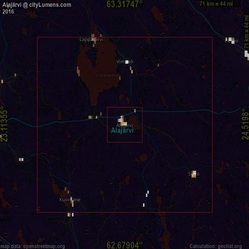
99.28%Clear (daylight) street map image can be seen on geolist.org.
Map coordinates:
63° 19' 2.9" North, 23° 6' 48.8" East
63° 0' 0" North, 23° 49' 0" East
62° 40' 44.5" North, 24° 31' 11.3" East
Some cities around Alajärvi sort by population:
• Seinäjoki
55 km =34.2 mi,  245°
245°
• Lapua
40.9 km =25.4 mi,  265°
265°
• Nurmo
49.7 km =30.9 mi, 247°
• Älajärvi
0.1 km =0.1 mi,  306°
306°
• Alavus
47.4 km =29.5 mi,  192°
192°
• Kauhava
39.3 km =24.4 mi,  286°
286°
• Ähtäri
51.1 km =31.8 mi,  165°
165°
• Ylistaro
66.2 km =41.1 mi,  264°
264°
661576 (p: 8,793)
Sources (retrieved 2019-11-25):
» Earth at Night: Flat Maps 2012, 2016