Viveiro night lights from space
Night Light of Viveiro (Galicia) from space (Spain) Src. Average luminocity for 10x10km area is 10.8667% and for 50x50km: 1.913%.
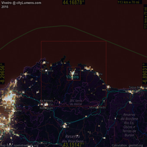
Analysis of Viveiro night lights 2016
Square area 10x10 km:
 1.21%
1.21%90-99
1.36%80-89
1.67%70-79
0%60-69
2.27%50-59
1.21%40-49
1.97%30-39
1.21%20-29
3.48%10-19
1.67%0-9
83.94%Square area 50x50 km:
0.23%90-99
0.29%80-89
0.17%70-79
0.12%60-69
0.32%50-59
0.2%40-49
0.36%30-39
0.28%20-29
0.52%10-19
0.32%0-9
97.19%Clear (daylight) street map image can be seen on geolist.org.
Map coordinates:
44° 10' 7.6" North, 8° 17' 47.6" West
43° 39' 44.2" North, 7° 35' 36.4" West
43° 9' 5.3" North, 6° 53' 25.1" West
Some cities around Viveiro sort by population:
• Vilalba
41.1 km =25.5 mi,  189°
189°
• As Pontes de García Rodríguez
31.2 km =19.4 mi,  221°
221°
• Foz
29.2 km =18.1 mi,  110°
110°
• Ribadeo
46.6 km =29 mi, 107°
• Burela de Cabo
15.6 km =9.7 mi,  95°
95°
• Santa Marta de Ortigueira
20.8 km =12.9 mi,  276°
276°
• Cedeira
37.3 km =23.2 mi,  269°
269°
• Valdoviño
44 km =27.3 mi,  260°
260°
3104475 (p: 16,238)
Sources (retrieved 2019-11-25):
» Earth at Night: Flat Maps 2012, 2016