Vilalba night lights from space
Night Light of Vilalba (Galicia) from space (Spain) Src. Average luminocity for 10x10km area is 6.9561% and for 50x50km: 1.3239%.
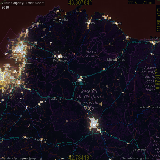
Analysis of Vilalba night lights 2016
Square area 10x10 km:
 0.76%
0.76%90-99
1.21%80-89
1.67%70-79
1.21%60-69
0%50-59
0.61%40-49
1.21%30-39
0.3%20-29
1.06%10-19
0.61%0-9
91.36%Square area 50x50 km:
0.11%90-99
0.23%80-89
0.1%70-79
0.16%60-69
0.14%50-59
0.13%40-49
0.17%30-39
0.26%20-29
0.41%10-19
0.46%0-9
97.83%Clear (daylight) street map image can be seen on geolist.org.
Map coordinates:
43° 48' 27.5" North, 8° 23' 3.9" West
43° 17' 53" North, 7° 40' 52.7" West
42° 47' 3" North, 6° 58' 41.4" West
Some cities around Vilalba sort by population:
• Lugo
33.6 km =20.9 mi,  162°
162°
• Viveiro
41.1 km =25.5 mi,  9°
9°
• Mos
19 km =11.8 mi,  146°
146°
• Fene
41.5 km =25.8 mi,  294°
294°
• As Pontes de García Rodríguez
22 km =13.7 mi,  321°
321°
• Guitiriz
21.7 km =13.5 mi,  233°
233°
• Castro de Rei
24.8 km =15.4 mi,  113°
113°
• Outeiro de Rei
22.5 km =14 mi,  166°
166°
3105522 (p: 15,437)
Sources (retrieved 2019-11-25):
» Earth at Night: Flat Maps 2012, 2016