Andorra la Vella night lights from space
Night Light of Andorra la Vella from space (Andorra) Src. Average luminocity for 10x10km area is 27.4032% and for 50x50km: 2.7928%.
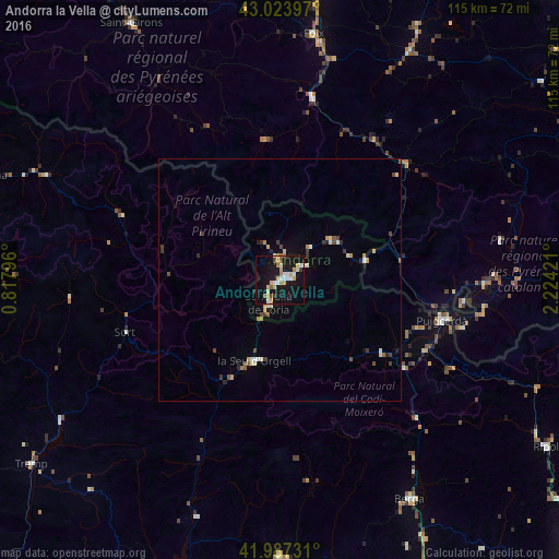
Analysis of Andorra la Vella night lights 2016
Square area 10x10 km:
 4.13%
4.13%90-99
4.76%80-89
4.44%70-79
4.92%60-69
2.38%50-59
1.27%40-49
2.22%30-39
0.95%20-29
1.11%10-19
43.17%0-9
30.63%Square area 50x50 km:
0.23%90-99
0.52%80-89
0.31%70-79
0.46%60-69
0.25%50-59
0.23%40-49
0.36%30-39
0.41%20-29
0.31%10-19
2.05%0-9
94.85%Clear (daylight) street map image can be seen on geolist.org.
Map coordinates:
43° 1' 26.3" North, 0° 49' 4.7" East
42° 30' 28" North, 1° 31' 15.9" East
41° 59' 14.3" North, 2° 13' 27.2" East
Some cities around Andorra la Vella sort by population:
• les Escaldes
1.1 km =0.7 mi,  92°
92°
• La Seu d'Urgell, ES
17.3 km =10.7 mi,  196°
196°
• Encamp
5.7 km =3.5 mi,  58°
58°
• Puigcerdà, ES
34.4 km =21.4 mi,  104°
104°
• Sant Julià de Lòria
5.5 km =3.4 mi,  206°
206°
• la Massana
4.2 km =2.6 mi,  352°
352°
• Canillo
9.1 km =5.7 mi,  43°
43°
• Ordino
5.5 km =3.4 mi,  10°
10°
3041563 (p: 20,430)
Sources (retrieved 2019-11-25):
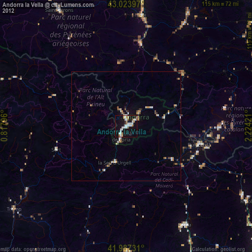
» Earth at Night: Flat Maps 2012, 2016