Alboraya night lights from space
Night Light of Alboraya (Valencia) from space (Spain) Src. Average luminocity for 10x10km area is 81.1623% and for 50x50km: 29.6783%.
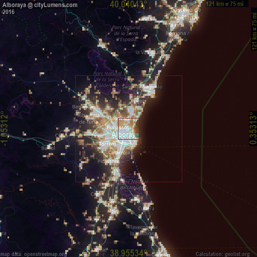
Analysis of Alboraya night lights 2016
Square area 10x10 km:
100  32.79%
90-99 20.62%
80-89 8.44%
70-79 12.82%
60-69 7.79%
50-59 2.6%
40-49 5.19%
30-39 6.01%
20-29 3.73%
10-19 0%
0-9 0%
32.79%90-99
20.62%80-89
8.44%70-79
12.82%60-69
7.79%50-59
2.6%40-49
5.19%30-39
6.01%20-29
3.73%10-19
0%0-9
0%Square area 50x50 km:
100 6.3%
90-99 6.08%
80-89 2.99%
70-79 3.54%
60-69 4.29%
50-59 3.6%
40-49 3.46%
30-39 4.2%
20-29 8.7%
10-19 11.92%
0-9 44.91%
6.3%90-99
6.08%80-89
2.99%70-79
3.54%60-69
4.29%50-59
3.6%40-49
3.46%30-39
4.2%20-29
8.7%10-19
11.92%0-9
44.91%Clear (daylight) street map image can be seen on geolist.org.
Map coordinates:
40° 2' 25.5" North, 1° 3' 11.2" West
39° 30' 0" North, 0° 21' 0" West
38° 57' 19.2" North, 0° 21' 11.3" East
Some cities around Alboraya sort by population:
• Valencia
4.1 km =2.5 mi,  214°
214°
• Mislata
6.5 km =4 mi,  244°
244°
• Burjassot
5.5 km =3.4 mi,  281°
281°
• Moncada
6.4 km =4 mi,  322°
322°
• Meliana
4 km =2.5 mi,  21°
21°
• Tavernes Blanques
1.4 km =0.9 mi,  270°
270°
• Rocafort
5.7 km =3.5 mi,  310°
310°
• Foios
3.7 km =2.3 mi,  0°
0°
2522203 (p: 22,405)
Sources (retrieved 2019-11-25):
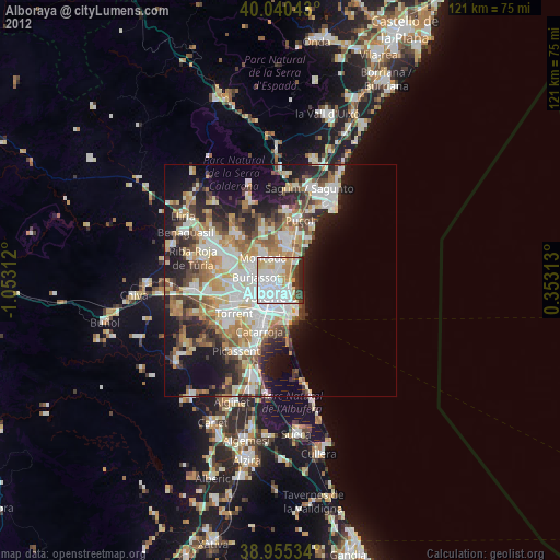
» Earth at Night: Flat Maps 2012, 2016