Quart de Poblet night lights from space
Night Light of Quart de Poblet (Valencia) from space (Spain) Src. Average luminocity for 10x10km area is 93.4237% and for 50x50km: 31.27%.
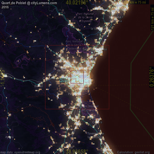
Analysis of Quart de Poblet night lights 2016
Square area 10x10 km:
 41.56%
90-99
32.63%80-89
10.55%70-79
13.15%60-69
2.11%50-59
0%40-49
0%30-39
0%20-29
0%10-19
0%0-9
0%Square area 50x50 km:
6.42%90-99
6.33%80-89
3.21%70-79
3.76%60-69
4.41%50-59
3.86%40-49
3.55%30-39
4.42%20-29
8.88%10-19
13.65%0-9
41.51%Clear (daylight) street map image can be seen on geolist.org.
Map coordinates:
40° 1' 19.1" North, 1° 8' 33" West
39° 28' 53" North, 0° 26' 21.7" West
38° 56' 11.7" North, 0° 15' 49.5" East
Some cities around Quart de Poblet sort by population:
• Paterna
2.4 km =1.5 mi,  357°
357°
• Mislata
1.9 km =1.2 mi,  110°
110°
• Burjassot
3.9 km =2.4 mi,  35°
35°
• Xirivella
2.1 km =1.3 mi,  146°
146°
• Manises
2.3 km =1.4 mi,  298°
298°
• Alaquàs
3.4 km =2.1 mi,  213°
213°
• Aldaia
2.5 km =1.6 mi,  225°
225°
• Picanya
5.4 km =3.4 mi,  174°
174°
2519068 (p: 25,499)
Sources (retrieved 2019-11-25):
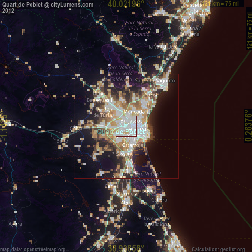
» Earth at Night: Flat Maps 2012, 2016