Teror night lights from space
Night Light of Teror (Canary Islands) from space (Spain) Src. Average luminocity for 10x10km area is 57.8163% and for 50x50km: 23.2558%.
Analysis of Teror night lights 2016
Square area 10x10 km:
 1.33%
1.33%90-99
4.17%80-89
9.28%70-79
17.05%60-69
19.7%50-59
15.34%40-49
10.04%30-39
9.85%20-29
10.8%10-19
2.46%0-9
0%Square area 50x50 km:
3.14%90-99
4.03%80-89
3.7%70-79
4.46%60-69
2.45%50-59
2.7%40-49
3.16%30-39
3.72%20-29
6.05%10-19
11.13%0-9
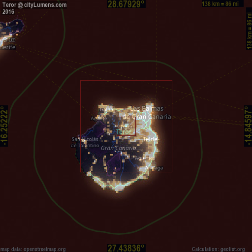
55.46%Clear (daylight) street map image can be seen on geolist.org.
Map coordinates:
28° 40' 45.4" North, 16° 15' 8" West
28° 3' 38.2" North, 15° 32' 56.7" West
27° 26' 18.1" North, 14° 50' 45.5" West
Some cities around Teror sort by population:
• Arucas
7.1 km =4.4 mi,  21°
21°
• Gáldar
13.8 km =8.6 mi,  314°
314°
• Santa Brígida
5.4 km =3.4 mi,  125°
125°
• Guia
12 km =7.5 mi,  316°
316°
• Valsequillo de Gran Canaria
9.8 km =6.1 mi,  148°
148°
• Vega de San Mateo
6 km =3.7 mi,  164°
164°
• Moya
6.5 km =4 mi,  329°
329°
• Firgas
5.3 km =3.3 mi,  345°
345°
2510508 (p: 12,926)
Sources (retrieved 2019-11-25):
» Earth at Night: Flat Maps 2012, 2016