Arucas night lights from space
Night Light of Arucas (Canary Islands) from space (Spain) Src. Average luminocity for 10x10km area is 64.3352% and for 50x50km: 20.2842%.

Analysis of Arucas night lights 2016
Square area 10x10 km:
 7.95%
7.95%90-99
7.01%80-89
11.55%70-79
24.05%60-69
10.98%50-59
12.31%40-49
6.44%30-39
5.11%20-29
12.5%10-19
2.08%0-9
0%Square area 50x50 km:
2.8%90-99
3.57%80-89
3.3%70-79
3.91%60-69
2.22%50-59
2.39%40-49
2.63%30-39
3.19%20-29
5.42%10-19
9.38%0-9
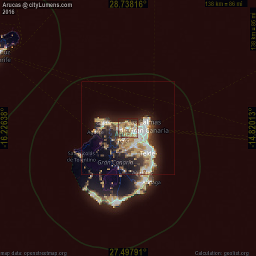
61.19%Clear (daylight) street map image can be seen on geolist.org.
Map coordinates:
28° 44' 17.4" North, 16° 13' 35" West
28° 7' 11.4" North, 15° 31' 23.7" West
27° 29' 52.5" North, 14° 49' 12.5" West
Some cities around Arucas sort by population:
• Las Palmas de Gran Canaria
11 km =6.8 mi,  101°
101°
• Gáldar
12.8 km =8 mi,  283°
283°
• Santa Brígida
9.9 km =6.2 mi,  169°
169°
• Guia
11 km =6.8 mi, 281°
• Teror
7.1 km =4.4 mi,  201°
201°
• Vega de San Mateo
12.4 km =7.7 mi,  184°
184°
• Moya
5.9 km =3.7 mi,  260°
260°
• Firgas
4.1 km =2.5 mi,  250°
250°
2521519 (p: 36,259)
Sources (retrieved 2019-11-25):
» Earth at Night: Flat Maps 2012, 2016