Santa Brígida night lights from space
Night Light of Santa Brígida (Canary Islands) from space (Spain) Src. Average luminocity for 10x10km area is 73.3902% and for 50x50km: 24.33%.
Analysis of Santa Brígida night lights 2016
Square area 10x10 km:
 6.63%
6.63%90-99
15.72%80-89
15.72%70-79
23.48%60-69
15.72%50-59
13.45%40-49
5.87%30-39
1.14%20-29
2.27%10-19
0%0-9
0%Square area 50x50 km:
3.17%90-99
4.09%80-89
3.96%70-79
4.61%60-69
2.53%50-59
2.71%40-49
3.3%30-39
3.94%20-29
6.47%10-19
13.79%0-9
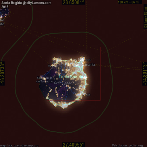
51.42%Clear (daylight) street map image can be seen on geolist.org.
Map coordinates:
28° 39' 2.9" North, 16° 12' 26.6" West
28° 1' 55.1" North, 15° 30' 15.3" West
27° 24' 34.4" North, 14° 48' 4.1" West
Some cities around Santa Brígida sort by population:
• Las Palmas de Gran Canaria
11.7 km =7.3 mi,  49°
49°
• Telde
9.4 km =5.8 mi,  117°
117°
• Arucas
9.9 km =6.2 mi,  349°
349°
• Teror
5.4 km =3.4 mi,  305°
305°
• Valsequillo de Gran Canaria
5.2 km =3.2 mi,  172°
172°
• Vega de San Mateo
3.8 km =2.4 mi,  228°
228°
• Moya
11.7 km =7.3 mi,  318°
318°
• Firgas
10.1 km =6.3 mi,  325°
325°
2511202 (p: 19,154)
Sources (retrieved 2019-11-25):
» Earth at Night: Flat Maps 2012, 2016