Guia night lights from space
Night Light of Guia (Canary Islands) from space (Spain) Src. Average luminocity for 10x10km area is 44.2254% and for 50x50km: 18.5756%.
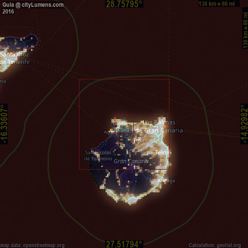
Analysis of Guia night lights 2016
Square area 10x10 km:
 2.27%
2.27%90-99
5.87%80-89
11.74%70-79
9.47%60-69
2.27%50-59
3.22%40-49
12.12%30-39
6.82%20-29
21.4%10-19
23.67%0-9
1.14%Square area 50x50 km:
2.69%90-99
3.41%80-89
3.07%70-79
3.81%60-69
2.09%50-59
2.28%40-49
2.37%30-39
2.85%20-29
4.14%10-19
7.18%0-9
66.12%Clear (daylight) street map image can be seen on geolist.org.
Map coordinates:
28° 45' 28.6" North, 16° 20' 9.9" West
28° 8' 23.1" North, 15° 37' 58.6" West
27° 31' 4.6" North, 14° 55' 47.4" West
Some cities around Guia sort by population:
• Arucas
11 km =6.8 mi,  101°
101°
• Gáldar
1.9 km =1.2 mi,  295°
295°
• Santa Brígida
17.4 km =10.8 mi,  133°
133°
• Teror
12 km =7.5 mi,  136°
136°
• Vega de San Mateo
17.5 km =10.9 mi,  146°
146°
• Moya
5.9 km =3.7 mi,  122°
122°
• Firgas
7.8 km =4.8 mi, 117°
• Agaete
7.9 km =4.9 mi,  236°
236°
2516861 (p: 14,031)
Sources (retrieved 2019-11-25):
» Earth at Night: Flat Maps 2012, 2016