Santutxu night lights from space
Night Light of Santutxu (Basque Country) from space (Spain) Src. Average luminocity for 10x10km area is 72.3379% and for 50x50km: 19.954%.
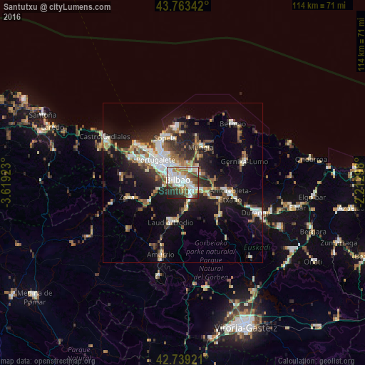
Analysis of Santutxu night lights 2016
Square area 10x10 km:
 23.33%
90-99
23.33%80-89
4.85%70-79
3.03%60-69
10%50-59
9.7%40-49
6.36%30-39
7.27%20-29
10.15%10-19
1.97%0-9
0%Square area 50x50 km:
3.34%90-99
3.89%80-89
1.73%70-79
1.98%60-69
2.41%50-59
2.92%40-49
2.23%30-39
2.91%20-29
5.72%10-19
13.9%0-9
58.97%Clear (daylight) street map image can be seen on geolist.org.
Map coordinates:
43° 45' 48.3" North, 3° 37' 9.2" West
43° 15' 12.5" North, 2° 54' 58" West
42° 44' 21.2" North, 2° 12' 46.7" West
Some cities around Santutxu sort by population:
• Bilbao
1.3 km =0.8 mi,  324°
324°
• Barakaldo
7.5 km =4.7 mi,  309°
309°
• Basauri
2.9 km =1.8 mi,  121°
121°
• Leioa
10.1 km =6.3 mi, 324°
• Sestao
9.7 km =6 mi, 310°
• Galdakao
6.4 km =4 mi,  113°
113°
• Erandio
7.3 km =4.5 mi, 320°
• Arrigorriaga
5.4 km =3.4 mi,  152°
152°
6618856 (p: 60,000)
Sources (retrieved 2019-11-25):
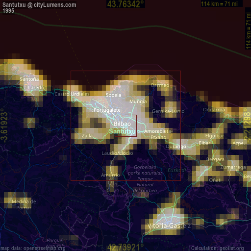
» NASA, Earths city lights 1995
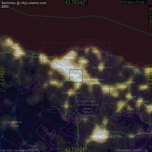
» NASA city lights 2003
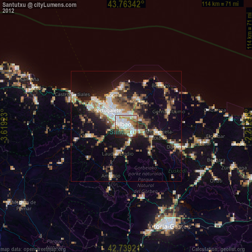
» Earth at Night: Flat Maps 2012, 2016