Barakaldo night lights from space
Night Light of Barakaldo (Basque Country) from space (Spain) Src. Average luminocity for 10x10km area is 80.0864% and for 50x50km: 19.2188%.
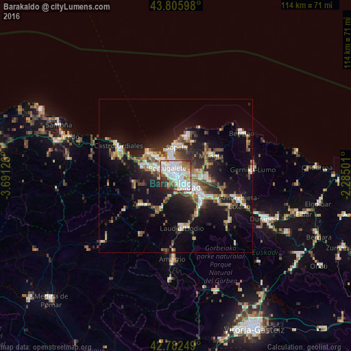
Analysis of Barakaldo night lights 2016
Square area 10x10 km:
 30.76%
90-99
27.12%80-89
6.52%70-79
4.55%60-69
7.12%50-59
7.27%40-49
2.88%30-39
6.52%20-29
6.36%10-19
0.91%0-9
0%Square area 50x50 km:
3.13%90-99
3.64%80-89
1.86%70-79
1.89%60-69
2.38%50-59
2.82%40-49
2.26%30-39
2.82%20-29
5.61%10-19
13.16%0-9
60.43%Clear (daylight) street map image can be seen on geolist.org.
Map coordinates:
43° 48' 21.5" North, 3° 41' 28.5" West
43° 17' 47" North, 2° 59' 17.3" West
42° 46' 57" North, 2° 17' 6" West
Some cities around Barakaldo sort by population:
• Bilbao
6.3 km =3.9 mi,  126°
126°
• Algorta
6.1 km =3.8 mi,  343°
343°
• Portugalete
3.8 km =2.4 mi,  316°
316°
• Santurtzi
5.1 km =3.2 mi,  314°
314°
• Leioa
3.4 km =2.1 mi,  359°
359°
• Sestao
2.1 km =1.3 mi, 313°
• Erandio
1.5 km =0.9 mi,  53°
53°
• Ortuella
5.7 km =3.5 mi,  286°
286°
3109453 (p: 98,460)
Sources (retrieved 2019-11-25):
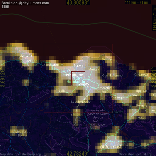
» NASA, Earths city lights 1995
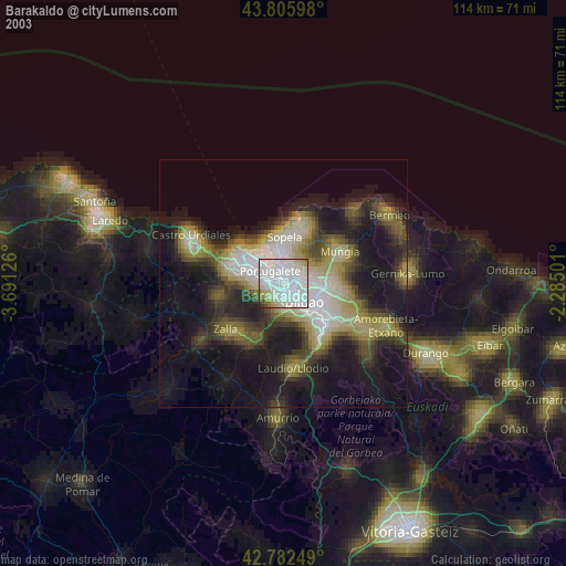
» NASA city lights 2003
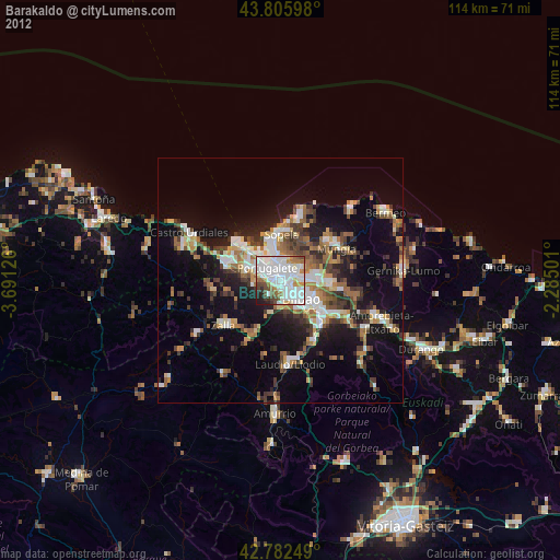
» Earth at Night: Flat Maps 2012, 2016