Erandio night lights from space
Night Light of Erandio (Basque Country) from space (Spain) Src. Average luminocity for 10x10km area is 80.6% and for 50x50km: 19.3415%.
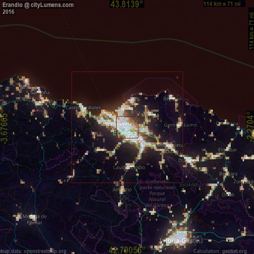
Analysis of Erandio night lights 2016
Square area 10x10 km:
 29.09%
90-99
27.27%80-89
6.67%70-79
3.48%60-69
10.61%50-59
7.88%40-49
4.55%30-39
8.64%20-29
1.82%10-19
0%0-9
0%Square area 50x50 km:
3.17%90-99
3.65%80-89
1.85%70-79
1.94%60-69
2.38%50-59
2.8%40-49
2.24%30-39
2.82%20-29
5.69%10-19
13.35%0-9
60.12%Clear (daylight) street map image can be seen on geolist.org.
Map coordinates:
43° 48' 50" North, 3° 40' 35.9" West
43° 18' 15.8" North, 2° 58' 24.7" West
42° 47' 26" North, 2° 16' 13.4" West
Some cities around Erandio sort by population:
• Bilbao
6.1 km =3.8 mi,  139°
139°
• Barakaldo
1.5 km =0.9 mi,  233°
233°
• Algorta
5.8 km =3.6 mi,  329°
329°
• Getxo
6.6 km =4.1 mi, 332°
• Portugalete
4.2 km =2.6 mi,  295°
295°
• Santurtzi
5.5 km =3.4 mi, 299°
• Leioa
2.8 km =1.7 mi, 333°
• Sestao
2.8 km =1.7 mi,  282°
282°
3123104 (p: 24,262)
Sources (retrieved 2019-11-25):
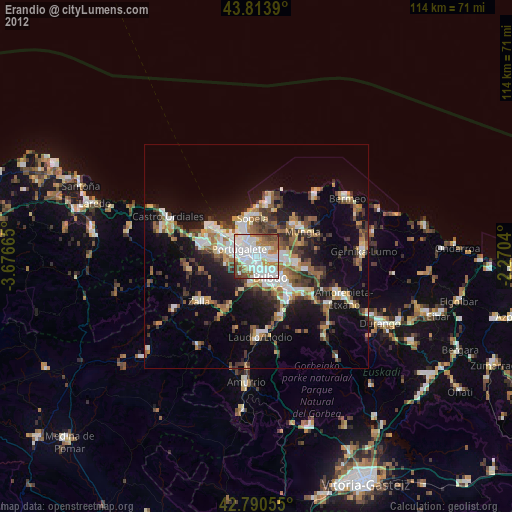
» Earth at Night: Flat Maps 2012, 2016