Santa Cruz de Tenerife night lights from space
Night Light of Santa Cruz de Tenerife (Canary Islands) from space (Spain) Src. Average luminocity for 10x10km area is 59.0833% and for 50x50km: 11.7628%.
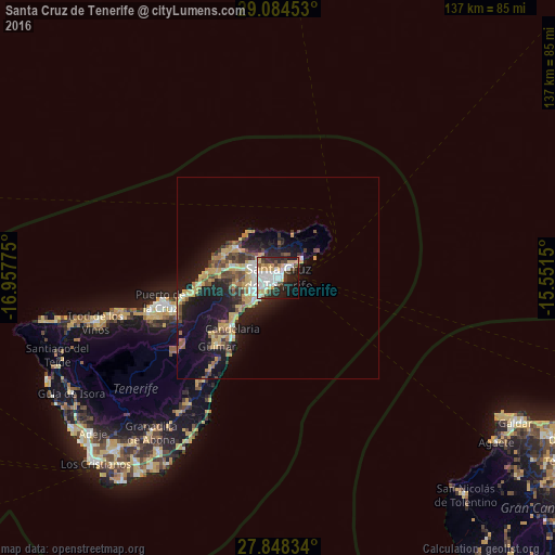
Analysis of Santa Cruz de Tenerife night lights 2016
Square area 10x10 km:
 17.66%
90-99
14.88%80-89
8.73%70-79
7.34%60-69
1.79%50-59
1.39%40-49
7.14%30-39
10.12%20-29
13.49%10-19
13.89%0-9
3.57%Square area 50x50 km:
1.26%90-99
1.41%80-89
2.17%70-79
2.2%60-69
0.99%50-59
1.37%40-49
1.97%30-39
1.66%20-29
3.37%10-19
9.96%0-9
73.65%Clear (daylight) street map image can be seen on geolist.org.
Map coordinates:
29° 5' 4.3" North, 16° 57' 27.9" West
28° 28' 5.7" North, 16° 15' 16.6" West
27° 50' 54" North, 15° 33' 5.4" West
Some cities around Santa Cruz de Tenerife sort by population:
• La Laguna
6.7 km =4.2 mi,  286°
286°
• Candelaria
17.1 km =10.6 mi,  222°
222°
• Tacoronte
15.2 km =9.4 mi,  273°
273°
• Tegueste
8.1 km =5 mi,  311°
311°
• La Victoria de Acentejo
20.7 km =12.9 mi,  258°
258°
• Sauzal
15.8 km =9.8 mi, 269°
• La Matanza de Acentejo
18.9 km =11.7 mi, 264°
• Arafo
21.8 km =13.5 mi,  228°
228°
2511174 (p: 222,417)
Sources (retrieved 2019-11-25):
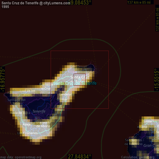
» NASA, Earths city lights 1995
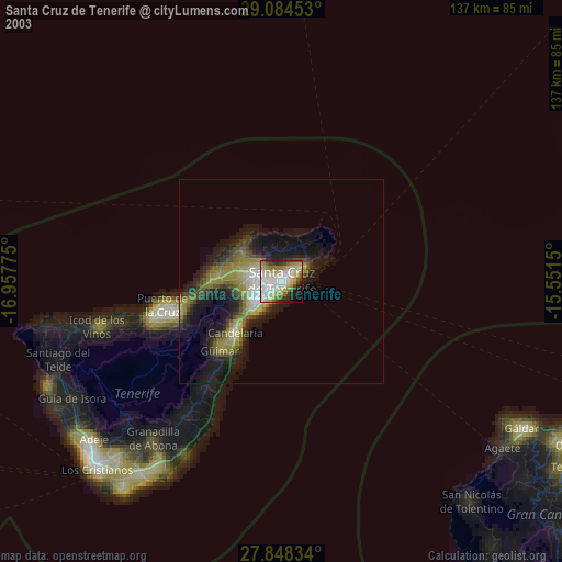
» NASA city lights 2003
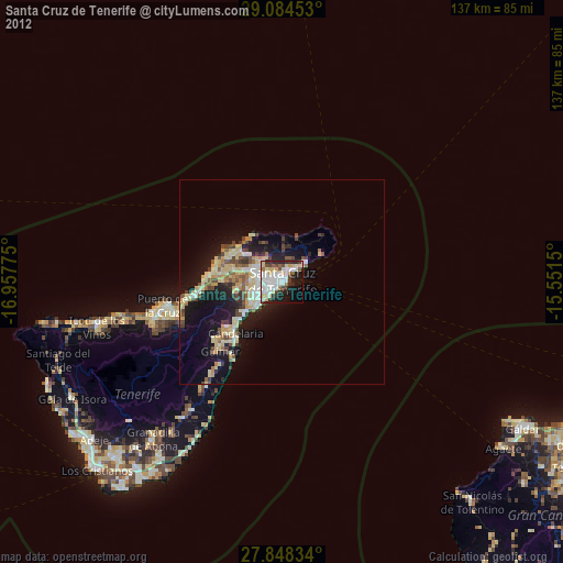
» Earth at Night: Flat Maps 2012, 2016