Tacoronte night lights from space
Night Light of Tacoronte (Canary Islands) from space (Spain) Src. Average luminocity for 10x10km area is 46.621% and for 50x50km: 14.4956%.
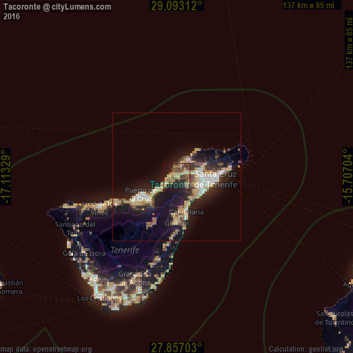
Analysis of Tacoronte night lights 2016
Square area 10x10 km:
 0.6%
0.6%90-99
2.98%80-89
9.52%70-79
12.5%60-69
8.33%50-59
9.92%40-49
14.48%30-39
5.95%20-29
14.29%10-19
20.24%0-9
1.19%Square area 50x50 km:
1.56%90-99
1.83%80-89
2.63%70-79
2.77%60-69
1.11%50-59
1.66%40-49
2.11%30-39
2.05%20-29
4.09%10-19
13.11%0-9
67.07%Clear (daylight) street map image can be seen on geolist.org.
Map coordinates:
29° 5' 35.2" North, 17° 6' 47.8" West
28° 28' 36.8" North, 16° 24' 36.6" West
27° 51' 25.3" North, 15° 42' 25.3" West
Some cities around Tacoronte sort by population:
• La Laguna
8.8 km =5.5 mi,  83°
83°
• La Orotava
14.6 km =9.1 mi,  229°
229°
• Candelaria
14.1 km =8.8 mi,  164°
164°
• Santa Úrsula
9.5 km =5.9 mi, 233°
• Tegueste
10.2 km =6.3 mi,  64°
64°
• La Victoria de Acentejo
7.1 km =4.4 mi, 225°
• Sauzal
1.3 km =0.8 mi,  209°
209°
• La Matanza de Acentejo
4.5 km =2.8 mi, 233°
2510725 (p: 23,562)
Sources (retrieved 2019-11-25):
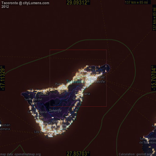
» Earth at Night: Flat Maps 2012, 2016