Candelaria night lights from space
Night Light of Candelaria (Canary Islands) from space (Spain) Src. Average luminocity for 10x10km area is 38.4286% and for 50x50km: 15.6004%.
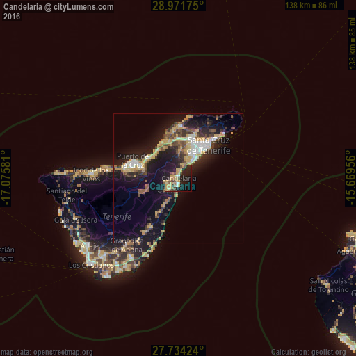
Analysis of Candelaria night lights 2016
Square area 10x10 km:
 2.58%
2.58%90-99
2.18%80-89
9.13%70-79
13.29%60-69
1.79%50-59
4.37%40-49
5.95%30-39
3.17%20-29
11.9%10-19
36.51%0-9
9.13%Square area 50x50 km:
1.57%90-99
1.85%80-89
2.85%70-79
2.93%60-69
1.19%50-59
1.76%40-49
2.31%30-39
2.41%20-29
4.5%10-19
14.18%0-9
64.46%Clear (daylight) street map image can be seen on geolist.org.
Map coordinates:
28° 58' 18.3" North, 17° 4' 32.9" West
28° 21' 17.3" North, 16° 22' 21.6" West
27° 44' 3.3" North, 15° 40' 10.4" West
Some cities around Candelaria sort by population:
• La Orotava
15.2 km =9.4 mi,  285°
285°
• Tacoronte
14.1 km =8.8 mi,  344°
344°
• Güimar
6.2 km =3.9 mi,  218°
218°
• Santa Úrsula
13.9 km =8.6 mi,  304°
304°
• La Victoria de Acentejo
12.3 km =7.6 mi,  314°
314°
• Sauzal
13.2 km =8.2 mi, 340°
• La Matanza de Acentejo
13.1 km =8.1 mi,  326°
326°
• Arafo
5.2 km =3.2 mi,  250°
250°
2520283 (p: 24,319)
Sources (retrieved 2019-11-25):
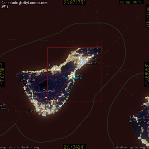
» Earth at Night: Flat Maps 2012, 2016