Arafo night lights from space
Night Light of Arafo (Canary Islands) from space (Spain) Src. Average luminocity for 10x10km area is 32.1349% and for 50x50km: 16.4203%.
Analysis of Arafo night lights 2016
Square area 10x10 km:
 1.39%
1.39%90-99
1.79%80-89
6.94%70-79
10.32%60-69
1.79%50-59
6.75%40-49
5.16%30-39
3.37%20-29
2.78%10-19
32.34%0-9
27.38%Square area 50x50 km:
1.59%90-99
1.88%80-89
2.9%70-79
3.24%60-69
1.29%50-59
1.82%40-49
2.39%30-39
2.63%20-29
4.58%10-19
15.78%0-9
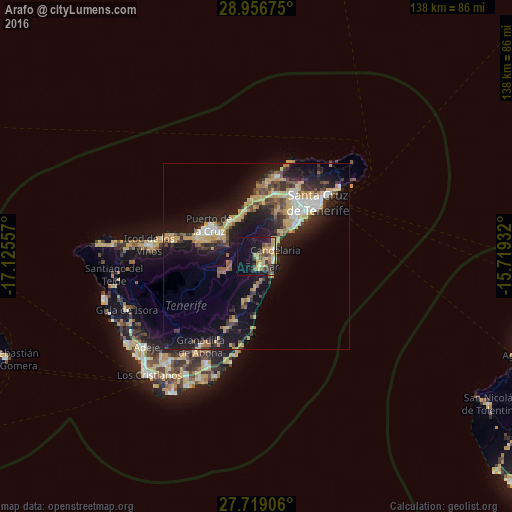
61.9%Clear (daylight) street map image can be seen on geolist.org.
Map coordinates:
28° 57' 24.3" North, 17° 7' 32.1" West
28° 20' 23" North, 16° 25' 20.8" West
27° 43' 8.6" North, 15° 43' 9.6" West
Some cities around Arafo sort by population:
• La Orotava
11.4 km =7.1 mi,  299°
299°
• Puerto de la Cruz
14.9 km =9.3 mi, 303°
• Candelaria
5.2 km =3.2 mi,  70°
70°
• Güimar
3.3 km =2.1 mi,  163°
163°
• Santa Úrsula
11.6 km =7.2 mi,  325°
325°
• La Victoria de Acentejo
11 km =6.8 mi,  339°
339°
• Sauzal
14.1 km =8.8 mi,  2°
2°
• La Matanza de Acentejo
12.8 km =8 mi,  349°
349°
2521692 (p: 5,375)
Sources (retrieved 2019-11-25):
» Earth at Night: Flat Maps 2012, 2016