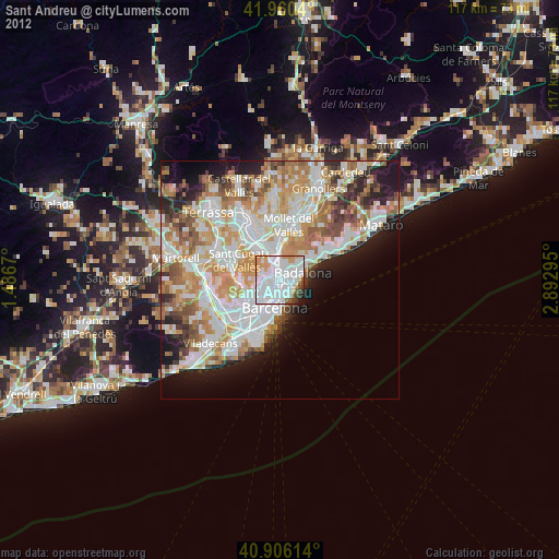
Sant Andreu night lights from space
Night Light of Sant Andreu (Catalonia) from space (Spain) Src. Average luminocity for 10x10km area is 89.7551% and for 50x50km: 44.6496%.

Analysis of Sant Andreu night lights 2016
Square area 10x10 km:
 49.49%
90-99
23.81%80-89
2.72%70-79
7.65%60-69
6.8%50-59
5.61%40-49
1.7%30-39
1.53%20-29
0.68%10-19
0%0-9
0%Square area 50x50 km:
11.66%90-99
10.65%80-89
4.31%70-79
5.32%60-69
8.19%50-59
5.97%40-49
3.74%30-39
4.24%20-29
7.63%10-19
8.26%0-9
30.03%Clear (daylight) street map image can be seen on geolist.org.
Map coordinates:
41° 57' 37.4" North, 1° 29' 12.1" East
41° 26' 7.5" North, 2° 11' 23.4" East
40° 54' 22.1" North, 2° 53' 34.6" East
Some cities around Sant Andreu sort by population:
• Nou Barris
1.3 km =0.8 mi,  303°
303°
• Barri de Sant Andreu
0.2 km =0.1 mi,  11°
11°
• La Sagrera
1.4 km =0.9 mi,  193°
193°
• la Prosperitat
1 km =0.6 mi,  321°
321°
• Porta
0.9 km =0.6 mi,  266°
266°
• el Congrés i els Indians
1.4 km =0.9 mi,  211°
211°
• el Bon Pastor
1 km =0.6 mi,  79°
79°
• Verdun
1.4 km =0.9 mi, 304°
3110876 (p: 147,732)
Sources (retrieved 2019-11-25):
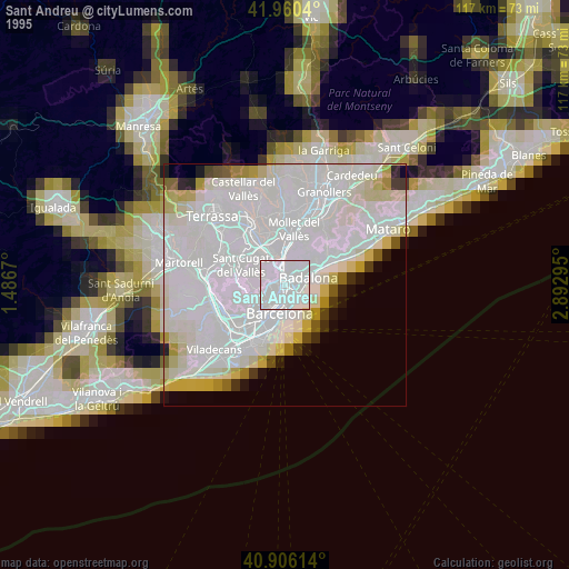
» NASA, Earths city lights 1995
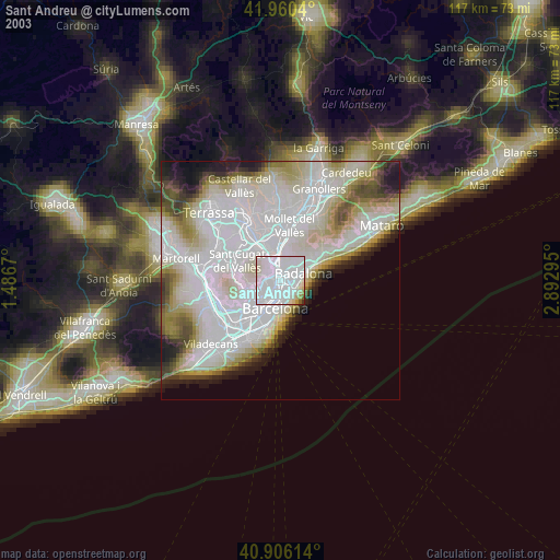
» NASA city lights 2003
» Earth at Night: Flat Maps 2012, 2016