la Prosperitat night lights from space
Night Light of la Prosperitat (Catalonia) from space (Spain) Src. Average luminocity for 10x10km area is 90.3078% and for 50x50km: 45.5088%.
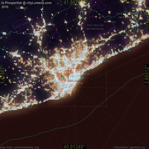
Analysis of la Prosperitat night lights 2016
Square area 10x10 km:
 45.24%
90-99
25%80-89
3.57%70-79
10.2%60-69
12.59%50-59
3.06%40-49
0.34%30-39
0%20-29
0%10-19
0%0-9
0%Square area 50x50 km:
11.75%90-99
10.71%80-89
4.39%70-79
5.46%60-69
8.26%50-59
6.3%40-49
3.86%30-39
4.38%20-29
8.2%10-19
8.48%0-9
28.21%Clear (daylight) street map image can be seen on geolist.org.
Map coordinates:
41° 58' 3.4" North, 1° 28' 43.9" East
41° 26' 33.7" North, 2° 10' 55.2" East
40° 54' 48.5" North, 2° 53' 6.4" East
Some cities around la Prosperitat sort by population:
• Nou Barris
0.4 km =0.2 mi,  253°
253°
• Sant Andreu
1 km =0.6 mi,  141°
141°
• Barri de Sant Andreu
0.9 km =0.6 mi,  133°
133°
• Porta
0.9 km =0.6 mi,  196°
196°
• les Roquetes
0.8 km =0.5 mi,  316°
316°
• la Guineueta
1.2 km =0.7 mi, 248°
• Verdun
0.5 km =0.3 mi,  270°
270°
• la Trinitat Nova
0.9 km =0.6 mi,  15°
15°
11549776 (p: 26,295)
Sources (retrieved 2019-11-25):
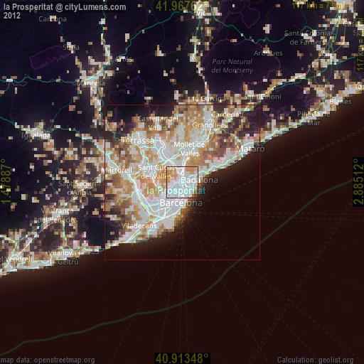
» Earth at Night: Flat Maps 2012, 2016